Transport Functions
Rail
Road
Hub Profile
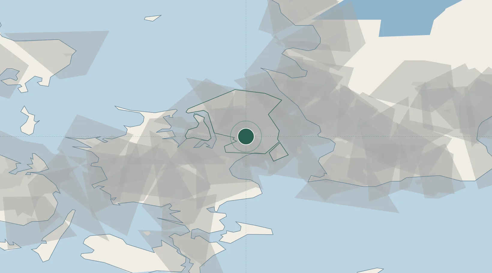
Place type
Populated place
Region
Capital Region
Population
8,787
Time zone
Europe/Copenhagen
Elevation
36 m
Location
Nearby Logistics Neighbours
Cities
- 1Veksø5 km
- 2Skovlunde6 km
- 3København11 km
- 4Høje Tåstrup12 km
- 5Ølstykke12 km
Ports
- 1Tuborg16 km
- 2Kobenhavn19 km
- 3Frederikssund20 km
- 4Kyndbyvaerkets29 km
- 5Frederiksvaerk31 km
Airports
- 1København Vandflyveplads18 km
- 2Copenhagen Roskilde Airport22 km
- 3Copenhagen Kastrup Airport25 km
- 4Ringsted Airfield49 km
- 5Ljungbyhed Airfield66 km
Trade Zones
DatabookThe Record of Consolidated Knowledge
Denmark beyond logistics?