Transport Functions
Rail
Multimodal
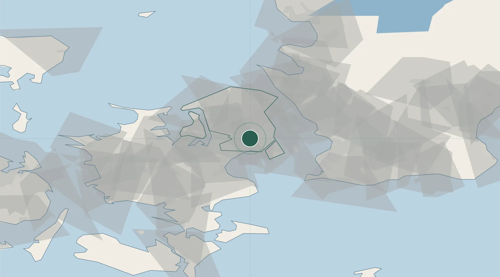
Hub Profile
Place type
Populated place
Region
Capital Region
Time zone
Europe/Copenhagen
Elevation
21 m
Location
Nearby Logistics Neighbours
Ports
- 1Tuborg12 km
- 2Kobenhavn14 km
- 3Frederikssund25 km
- 4Landskrona31 km
- 5Koge32 km
Airports
- 1København Vandflyveplads13 km
- 2Copenhagen Kastrup Airport20 km
- 3Copenhagen Roskilde Airport22 km
- 4Ringsted Airfield49 km
- 5Malmö Sturup Airport65 km
Trade Zones
DatabookThe Record of Consolidated Knowledge
Denmark beyond logistics?