UN/LOCODE hub · Denmark
DKVB2

Vejby

56.0667°, 12.1500°
2
Transport functions

Transport Functions

Port
Road
UN/LOCODE

Hub Profile

Place type
Populated place
GeoNames
Region
Capital Region
GeoNames
Time zone
Europe/Copenhagen
GeoNames
Elevation
35 m
GeoNames

Location

Location of DKVB2
Natural Earth 10m (public domain) · Capital Region · DKVB2 · 56.07, 12.15GoogleOSMYandex

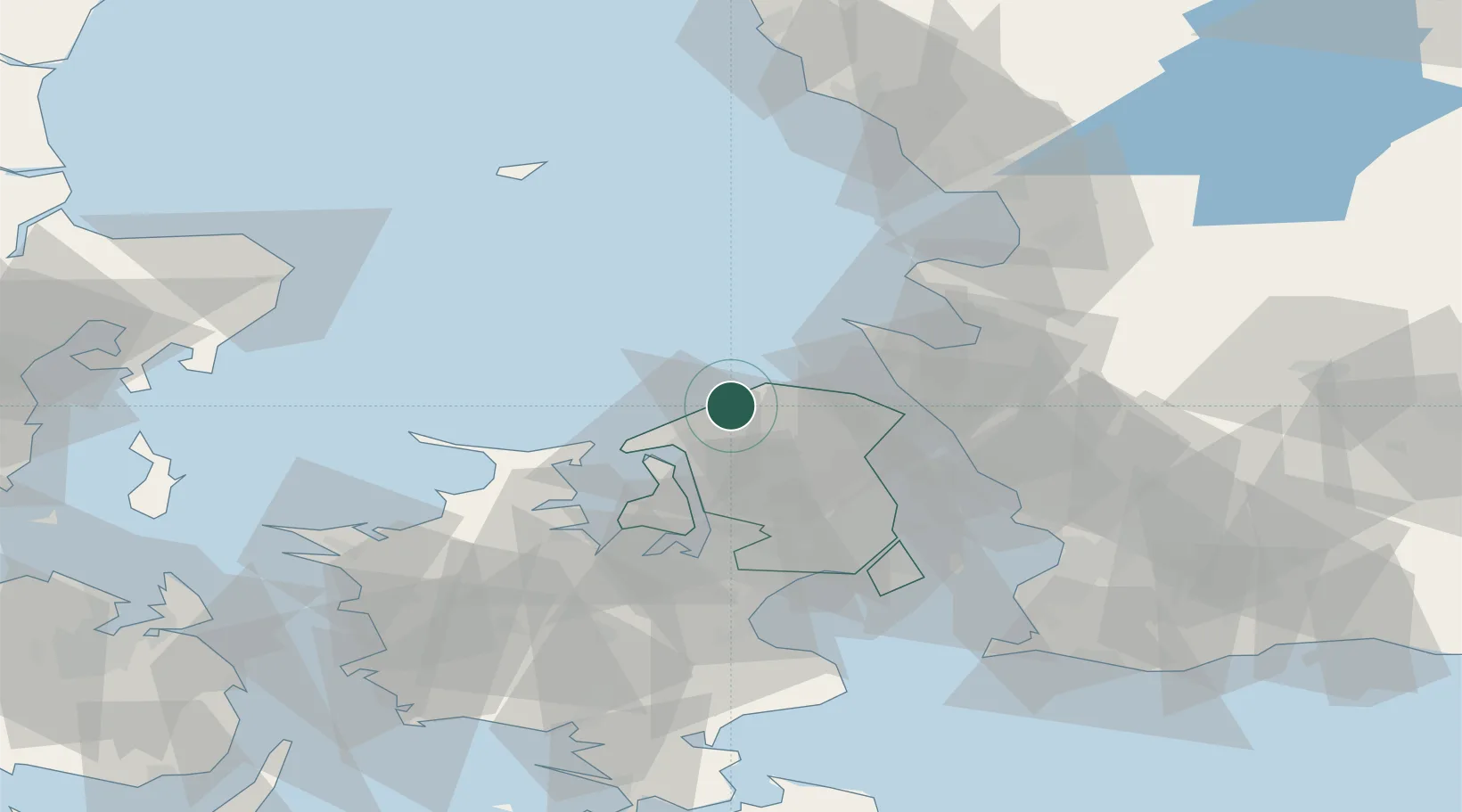
Nearby Logistics Neighbours

Cities
  1. 1Tisvildeleje5 km
  2. 2Tikøb20 km
  3. 3Saunte22 km
  4. 4Ålsgårde25 km
  5. 5Humlebæk25 km
Nearest neighbours — logibook spatial index (haversine) over the source coordinates
Ports
  1. 1Frederiksvaerk14 km
  2. 2Hundested Havn22 km
  3. 3Frederikssund27 km
  4. 4Hoganas28 km
  5. 5Helsingor29 km
Nearest neighbours — logibook spatial index (haversine) over the source coordinates
Airports
  1. 1Ängelholm-Helsingborg Airport50 km
  2. 2København Vandflyveplads50 km
  3. 3Copenhagen Roskilde Airport54 km
  4. 4Copenhagen Kastrup Airport59 km
  5. 5Ljungbyhed Airfield66 km
Nearest neighbours — logibook spatial index (haversine) over the source coordinates
Trade Zones
  1. 1Freeport of Copenhagen- Nordhavn48 km
  2. 2MTS Malmö Transport and Spedition78 km
  3. 3Gothenburg Boundless Customs Warehouse183 km
  4. 4Jönköping Free Zone223 km
  5. 5Freeport of Kiel230 km
Nearest neighbours — logibook spatial index (haversine) over the source coordinates
DatabookThe Record of Consolidated Knowledge
Denmark beyond logistics?
Browse databook

All Sources

LocationsUN/LOCODE
UN/LOCODE — free
Portsthe NGA World Port Index
Public domain (US gov)
AirportsOurAirports
Public domain
Trade Zonesthe World Bank SEZ database
CC BY 4.0
Trade ZonesOpen Zone Map
CC BY
← Denmark locations