Transport Functions
Rail
Road
Hub Profile
Place type
Populated place
Region
Capital Region
Time zone
Europe/Copenhagen
Elevation
23 m
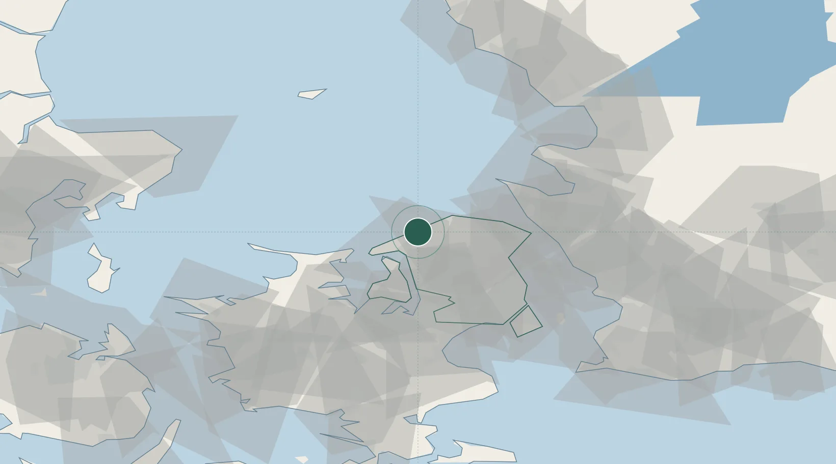
Location
Nearby Logistics Neighbours
Cities
- 1Vejby5 km
- 2Tikøb24 km
- 3Frederikssund24 km
- 4Saunte26 km
- 5Ølstykke28 km
Ports
- 1Frederiksvaerk10 km
- 2Hundested Havn17 km
- 3Frederikssund24 km
- 4Kyndbyvaerkets29 km
- 5Hoganas33 km
Airports
Trade Zones
DatabookThe Record of Consolidated Knowledge
Denmark beyond logistics?