Transport Functions
Port
Rail
Road
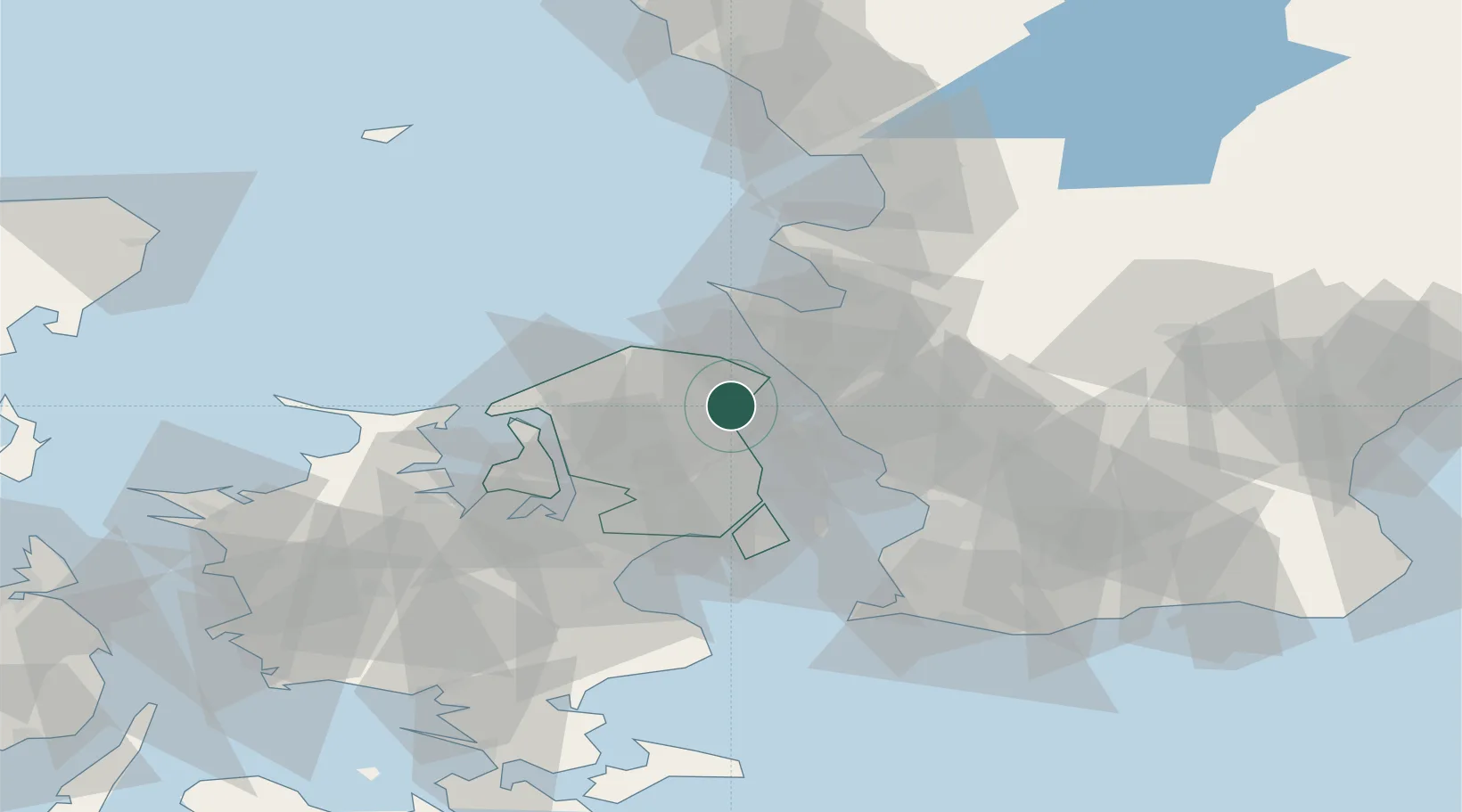
Location
Nearby Logistics Neighbours
Cities
- 1Tikøb6 km
- 2Hellebæk12 km
- 3Saunte13 km
- 4Ålsgårde13 km
- 5Helsingborg16 km
Ports
- 1Helsingor10 km
- 2Helsingborg13 km
- 3Landskrona23 km
- 4Hoganas26 km
- 5Tuborg28 km
Airports
Trade Zones
DatabookThe Record of Consolidated Knowledge
Denmark beyond logistics?