Transport Functions
Rail
Road
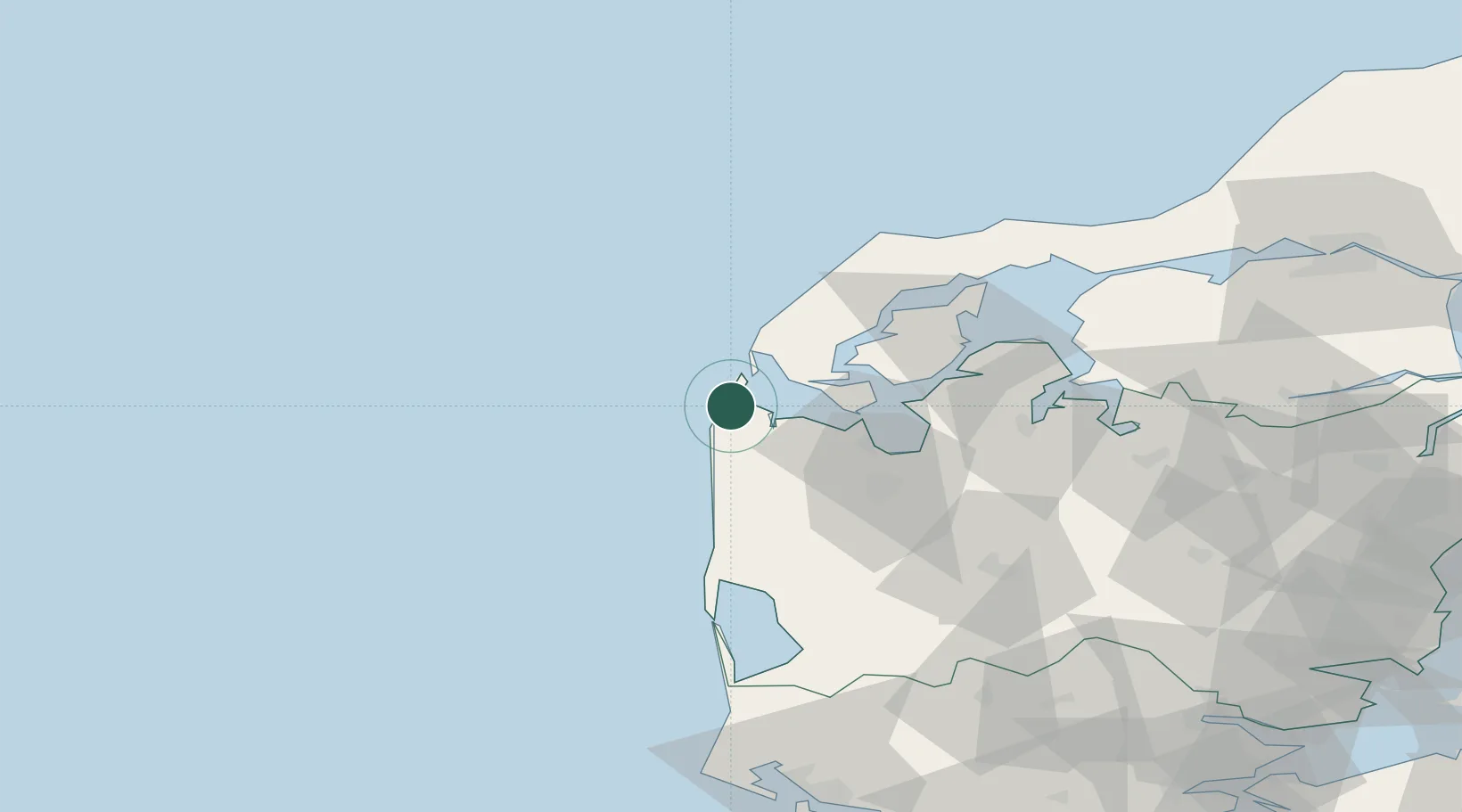
Location
Nearby Logistics Neighbours
Cities
- 1Thyborøn10 km
- 2Bøvlingbjerg20 km
- 3Hurup Thy21 km
- 4Thyholm21 km
- 5Bækmarksbro24 km
Ports
- 1Lemvig7 km
- 2Thyboron10 km
- 3Holstebro-Stuer28 km
- 4Thisted49 km
- 5Ringkobing59 km
Airports
- 1Thisted Airport60 km
- 2Skive Airport61 km
- 3Midtjyllands Airport / Air Base Karup67 km
- 4Stauning Vestjylland Airport71 km
- 5Aalborg Airport114 km
Trade Zones
DatabookThe Record of Consolidated Knowledge
Denmark beyond logistics?