Transport Functions
Port
Road
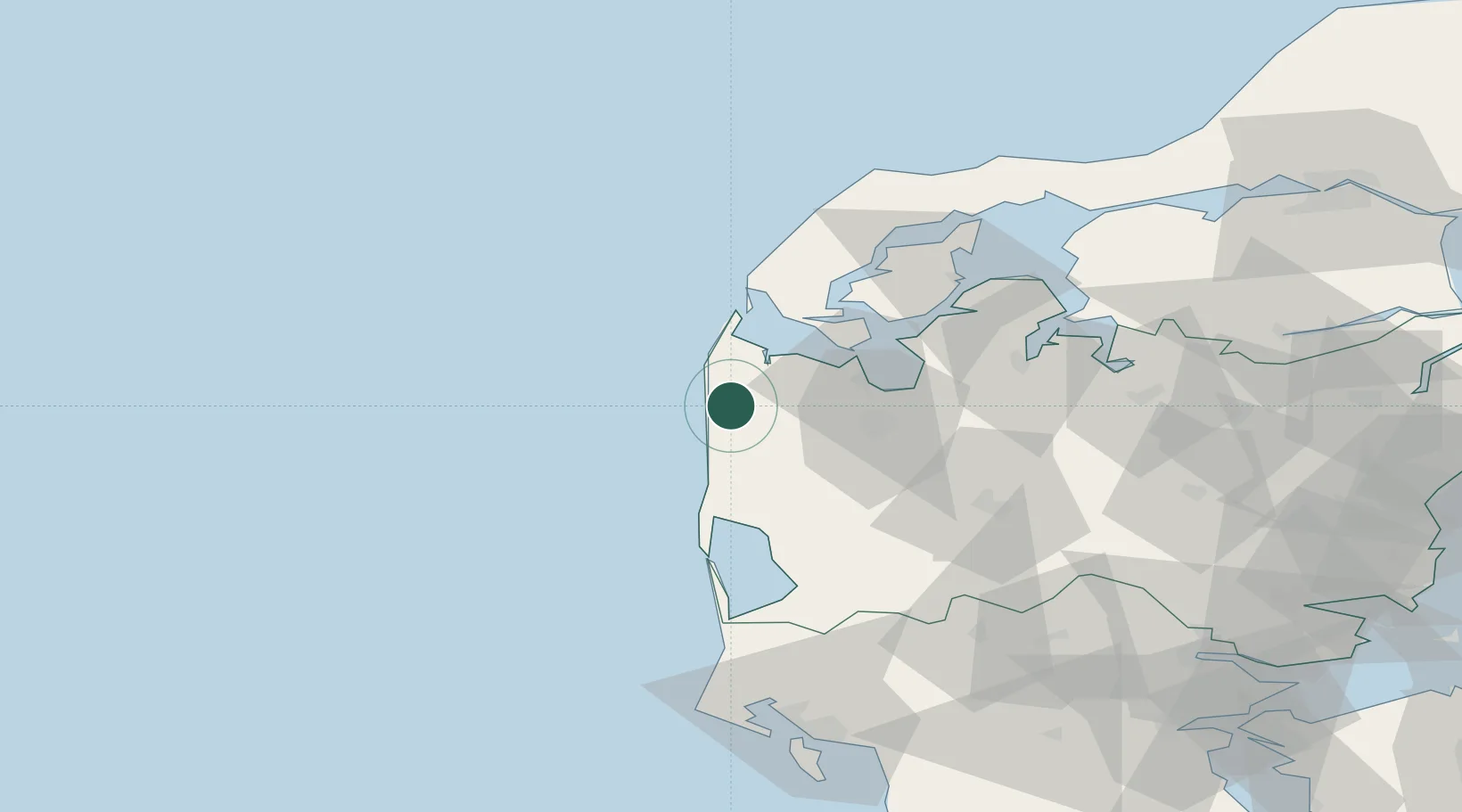
Location
Nearby Logistics Neighbours
Cities
- 1Bækmarksbro7 km
- 2Torsminde9 km
- 3Harboør20 km
- 4Kleppen26 km
- 5Thyborøn30 km
Ports
- 1Lemvig17 km
- 2Holstebro-Stuer25 km
- 3Thyboron30 km
- 4Ringkobing39 km
- 5Thisted65 km
Airports
- 1Stauning Vestjylland Airport50 km
- 2Midtjyllands Airport / Air Base Karup58 km
- 3Skive Airport61 km
- 4Thisted Airport77 km
- 5Billund Airport97 km
Trade Zones
DatabookThe Record of Consolidated Knowledge
Denmark beyond logistics?