Transport Functions
Port
Rail
Road
Hub Profile
Place type
Populated place
Region
South Denmark
Time zone
Europe/Copenhagen
Elevation
42 m
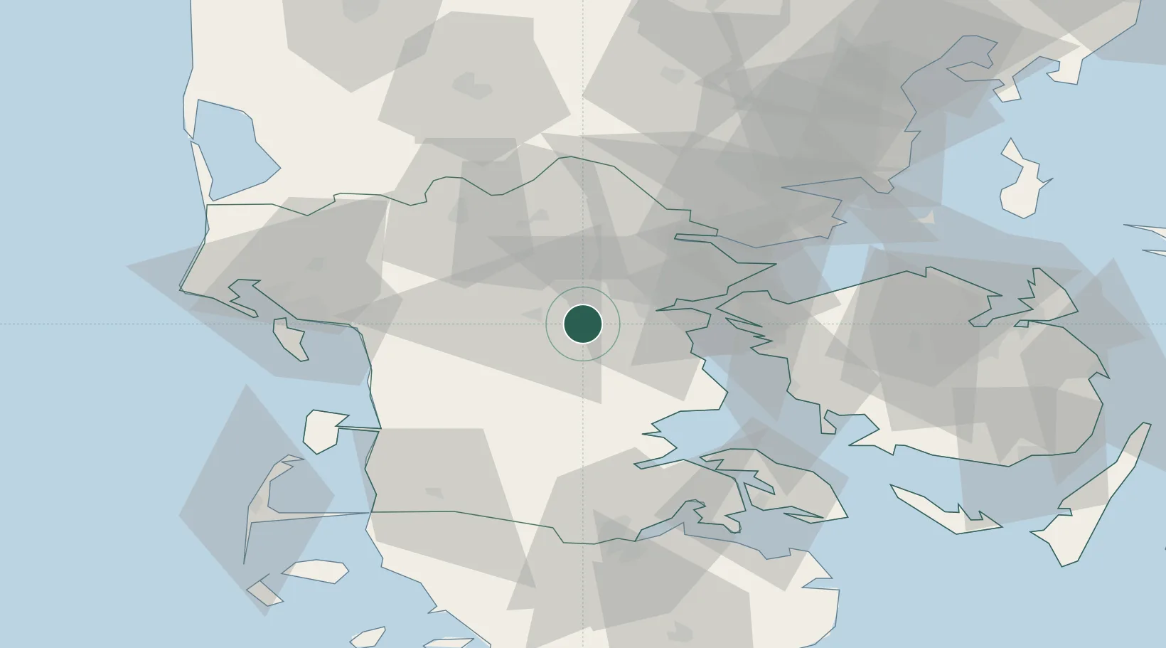
Location
Nearby Logistics Neighbours
Cities
- 1Føvling21 km
- 2Hejls21 km
- 3Odense24 km
- 4Vorbasse24 km
- 5Fredericia29 km
Ports
- 1Kolding14 km
- 2Skaerbaek22 km
- 3Haderslev26 km
- 4Middelfart29 km
- 5Fredericia33 km
Airports
- 1Kolding Vamdrup Airfield3 km
- 2Skrydstrup Air Base26 km
- 3Billund Airport33 km
- 4Esbjerg Airport47 km
- 5Sønderborg Airport63 km
Trade Zones
DatabookThe Record of Consolidated Knowledge
Denmark beyond logistics?