UN/LOCODE hub · Denmark
DKFRC
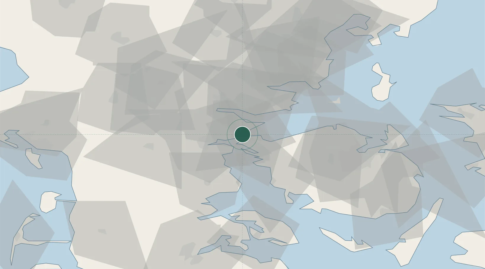
Fredericia
55.5534°, 9.7136°
40,886
Population
3
Transport functions
1
Container terminals
Transport Functions
Port
Rail
Postal
Hub Profile
Place type
Provincial seat
Region
South Denmark
Population
40,886
Time zone
Europe/Copenhagen
Elevation
16 m
Logistics facilities
5
Container terminals
1
Location
Nearby Logistics Neighbours
Ports
- 1Middelfart6 km
- 2Skaerbaek7 km
- 3Kolding16 km
- 4Vejle21 km
- 5Assens34 km
Airports
- 1Kolding Vamdrup Airfield27 km
- 2Odense Hans Christian Andersen Airport40 km
- 3Billund Airport41 km
- 4Skrydstrup Air Base47 km
- 5Sønderborg Airport66 km
Trade Zones
DatabookThe Record of Consolidated Knowledge
Denmark beyond logistics?