Transport Functions
Port
Hub Profile
Place type
Populated place
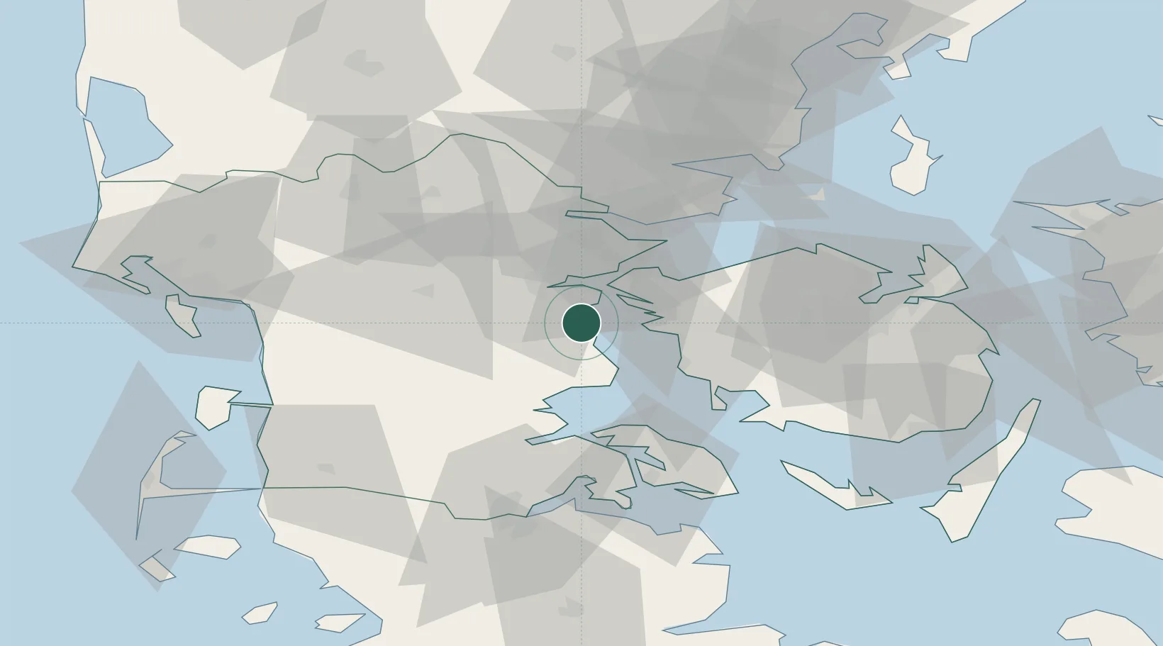
Region
South Denmark
Time zone
Europe/Copenhagen
Elevation
9 m
Location
Nearby Logistics Neighbours
Cities
- 1Åro16 km
- 2Årosund17 km
- 3Odense18 km
- 4Fredericia20 km
- 5Nagbol21 km
Ports
- 1Kolding13 km
- 2Skaerbaek15 km
- 3Middelfart16 km
- 4Haderslev16 km
- 5Assens22 km
Airports
- 1Kolding Vamdrup Airfield18 km
- 2Skrydstrup Air Base28 km
- 3Odense Hans Christian Andersen Airport47 km
- 4Sønderborg Airport48 km
- 5Billund Airport49 km
Trade Zones
DatabookThe Record of Consolidated Knowledge
Denmark beyond logistics?