Transport Functions
Multimodal
Hub Profile
Place type
Populated place
Region
South Denmark
Population
1,300
Time zone
Europe/Copenhagen
Elevation
74 m
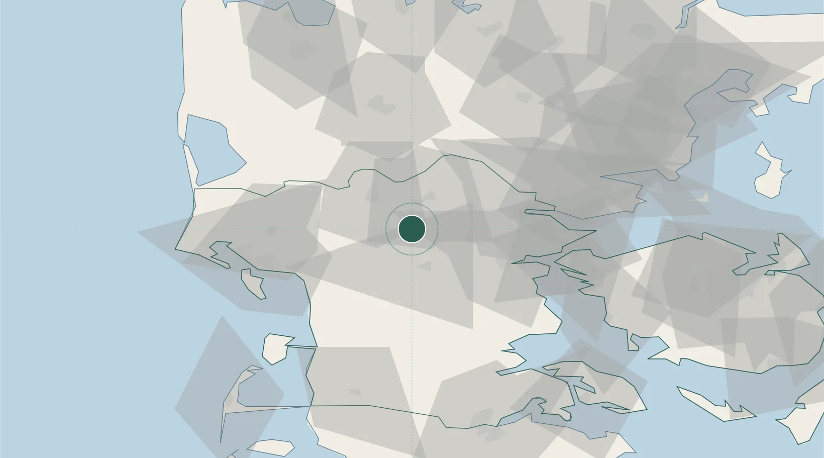
Location
Nearby Logistics Neighbours
Ports
- 1Vejle31 km
- 2Kolding31 km
- 3Skaerbaek36 km
- 4Middelfart44 km
- 5Fredericia44 km
Airports
- 1Billund Airport13 km
- 2Kolding Vamdrup Airfield27 km
- 3Esbjerg Airport35 km
- 4Skrydstrup Air Base47 km
- 5Stauning Vestjylland Airport60 km
Trade Zones
- 1Freeport of Kiel160 km
- 2Freeport of Cuxhaven (Freihafen Cuxhaven)204 km
- 3Freeport of Copenhagen- Nordhavn221 km
- 4MTS Malmö Transport and Spedition252 km
- 5Freeport of Emden283 km
DatabookThe Record of Consolidated Knowledge
Denmark beyond logistics?