Transport Functions
Port
Rail
Road
Airport
Hub Profile
Place type
Provincial seat
Region
South Denmark
Population
180,863
Time zone
Europe/Copenhagen
Elevation
17 m
Logistics facilities
1
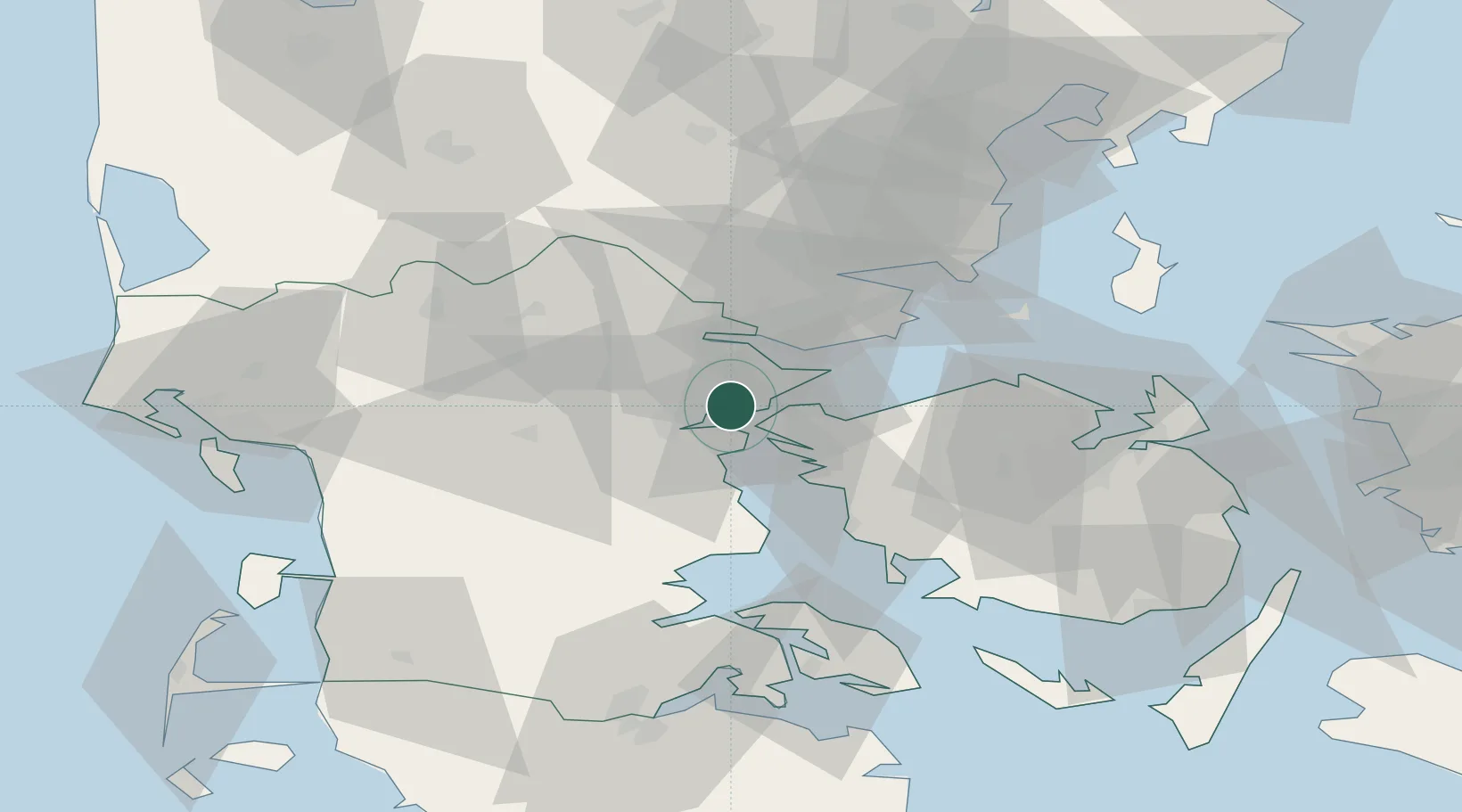
Location
Nearby Logistics Neighbours
Cities
- 1Fredericia6 km
- 2Brejning14 km
- 3Hejls18 km
- 4Nagbol24 km
- 5Jelling26 km
Ports
- 1Skaerbaek3 km
- 2Middelfart9 km
- 3Fredericia10 km
- 4Kolding10 km
- 5Vejle20 km
Airports
- 1Kolding Vamdrup Airfield22 km
- 2Billund Airport36 km
- 3Skrydstrup Air Base42 km
- 4Odense Hans Christian Andersen Airport45 km
- 5Sønderborg Airport65 km
Trade Zones
DatabookThe Record of Consolidated Knowledge
Denmark beyond logistics?