Transport Functions
Port
Road
Hub Profile
Region
83
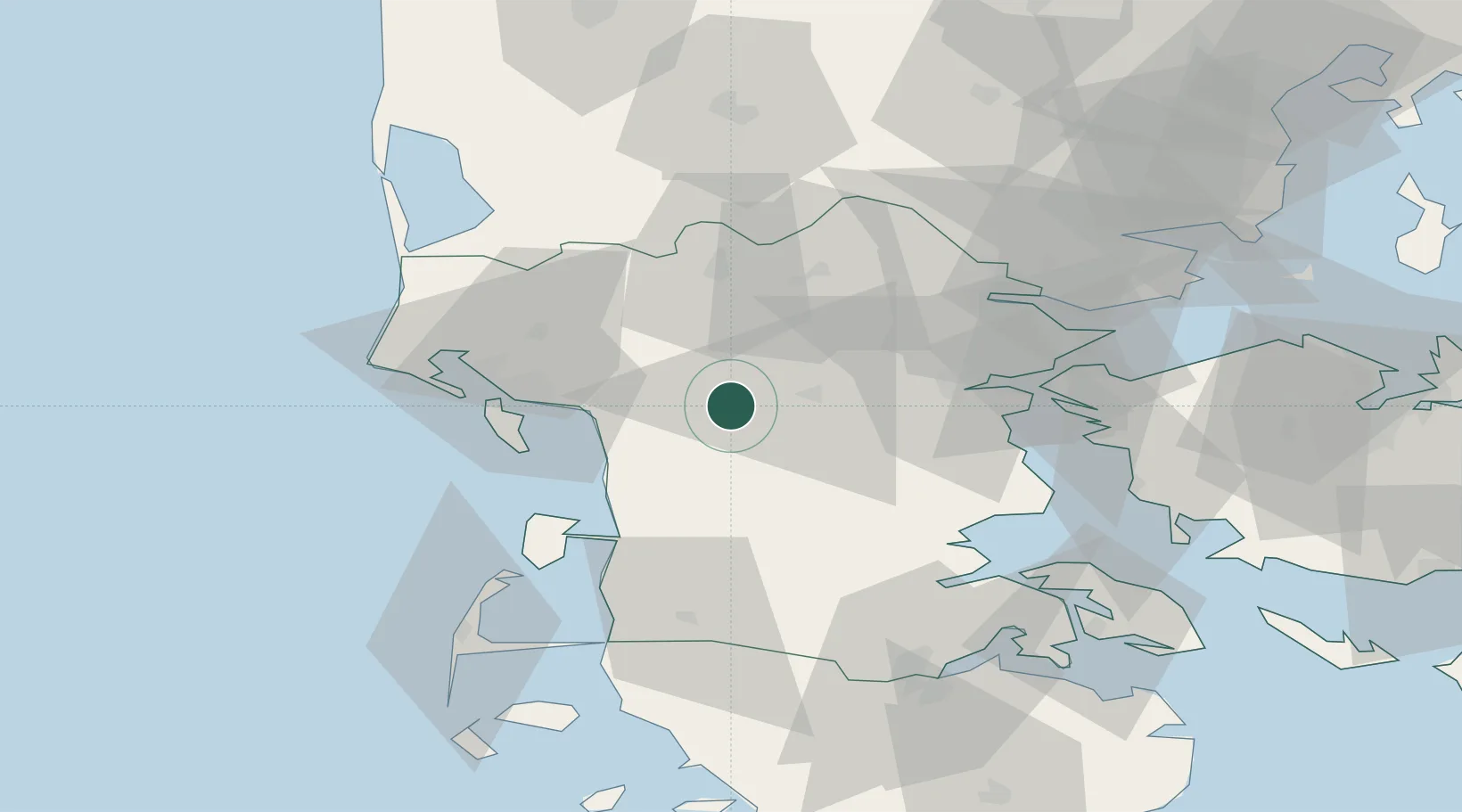
Location
Nearby Logistics Neighbours
Airports
- 1Kolding Vamdrup Airfield24 km
- 2Esbjerg Airport26 km
- 3Skrydstrup Air Base32 km
- 4Billund Airport35 km
- 5Stauning Vestjylland Airport71 km
Trade Zones
- 1Freeport of Kiel147 km
- 2Freeport of Cuxhaven (Freihafen Cuxhaven)182 km
- 3Freeport of Copenhagen- Nordhavn231 km
- 4Freeport of Emden261 km
- 5MTS Malmö Transport and Spedition261 km
DatabookThe Record of Consolidated Knowledge
Denmark beyond logistics?