Transport Functions
Port
Rail
Road
Airport
Postal
Hub Profile
Region
84
Logistics facilities
9
Container terminals
1
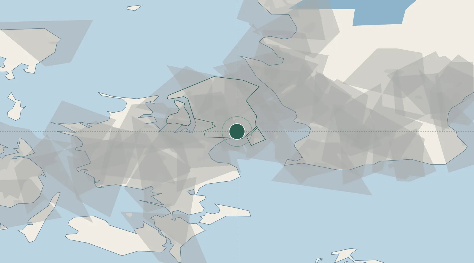
Location
Nearby Logistics Neighbours
Cities
- 1Rødovre3 km
- 2Vanløse3 km
- 3Skovlunde6 km
- 4Vallensbæk7 km
- 5Dyssegard10 km
Ports
- 1Tuborg11 km
- 2Koge28 km
- 3Frederikssund30 km
- 4Limhamn31 km
- 5Landskrona32 km
Airports
- 1København Vandflyveplads11 km
- 2Copenhagen Kastrup Airport15 km
- 3Copenhagen Roskilde Airport21 km
- 4Ringsted Airfield48 km
- 5Malmö Sturup Airport61 km
Trade Zones
DatabookThe Record of Consolidated Knowledge
Denmark beyond logistics?