Transport Functions
Rail
Road
Hub Profile
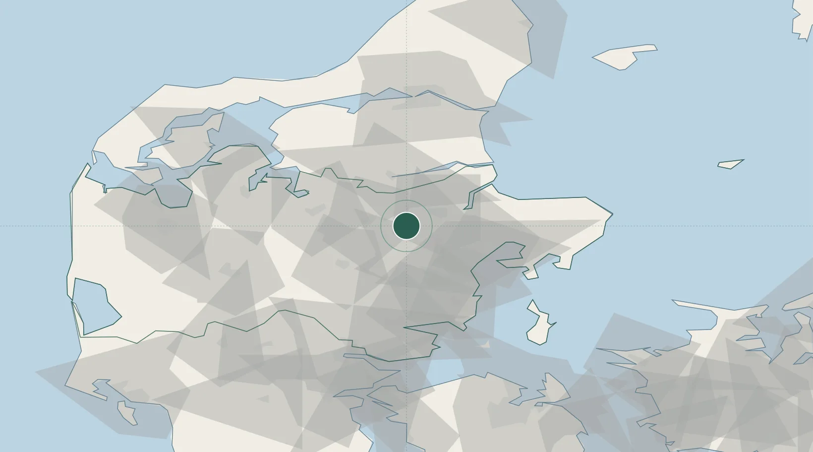
Place type
Populated place
Region
Central Jutland
Population
2,811
Time zone
Europe/Copenhagen
Elevation
16 m
Location
Nearby Logistics Neighbours
Cities
- 1Spentrup21 km
- 2Tjele22 km
- 3Rødkærsbro23 km
- 4Egå31 km
- 5Mariager31 km
Airports
- 1Aarhus Seaplane Terminal34 km
- 2Aarhus Airport46 km
- 3Skive Airport47 km
- 4Midtjyllands Airport / Air Base Karup49 km
- 5Aalborg Airport79 km
Trade Zones
DatabookThe Record of Consolidated Knowledge
Denmark beyond logistics?