UN/LOCODE hub · Denmark
DKRDB

Rødkærsbro

56.3500°, 9.5167°
2
Transport functions

Transport Functions

Rail
Road
UN/LOCODE

Hub Profile

Region
82
GeoNames

Location

Location of DKRDB
Natural Earth 10m (public domain) · 82 · DKRDB · 56.35, 9.52GoogleOSMYandex

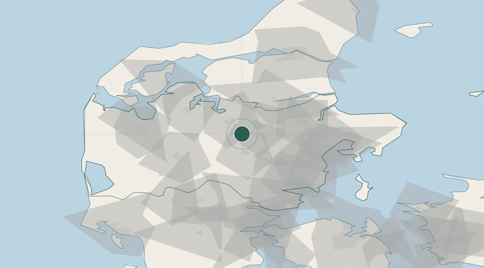
Nearby Logistics Neighbours

Cities
  1. 1Tjele17 km
  2. 2Langå23 km
  3. 3Ry33 km
  4. 4Hampen39 km
  5. 5Spentrup39 km
Nearest neighbours — logibook spatial index (haversine) over the source coordinates
Ports
  1. 1Randers35 km
  2. 2Hobro36 km
  3. 3Mariager44 km
  4. 4Arhus49 km
  5. 5Studstrup53 km
Nearest neighbours — logibook spatial index (haversine) over the source coordinates
Airports
  1. 1Midtjyllands Airport / Air Base Karup26 km
  2. 2Skive Airport31 km
  3. 3Aarhus Seaplane Terminal50 km
  4. 4Aarhus Airport68 km
  5. 5Billund Airport71 km
Nearest neighbours — logibook spatial index (haversine) over the source coordinates
Trade Zones
  1. 1Freeport of Copenhagen- Nordhavn204 km
  2. 2Gothenburg Boundless Customs Warehouse205 km
  3. 3Freeport of Kiel228 km
  4. 4MTS Malmö Transport and Spedition237 km
  5. 5Freeport of Cuxhaven (Freihafen Cuxhaven)287 km
Nearest neighbours — logibook spatial index (haversine) over the source coordinates
DatabookThe Record of Consolidated Knowledge
Denmark beyond logistics?
Browse databook

All Sources

LocationsUN/LOCODE
UN/LOCODE — free
Portsthe NGA World Port Index
Public domain (US gov)
AirportsOurAirports
Public domain
Trade Zonesthe World Bank SEZ database
CC BY 4.0
Trade ZonesOpen Zone Map
CC BY
← Denmark locations