Transport Functions
Port
Road
Hub Profile
Place type
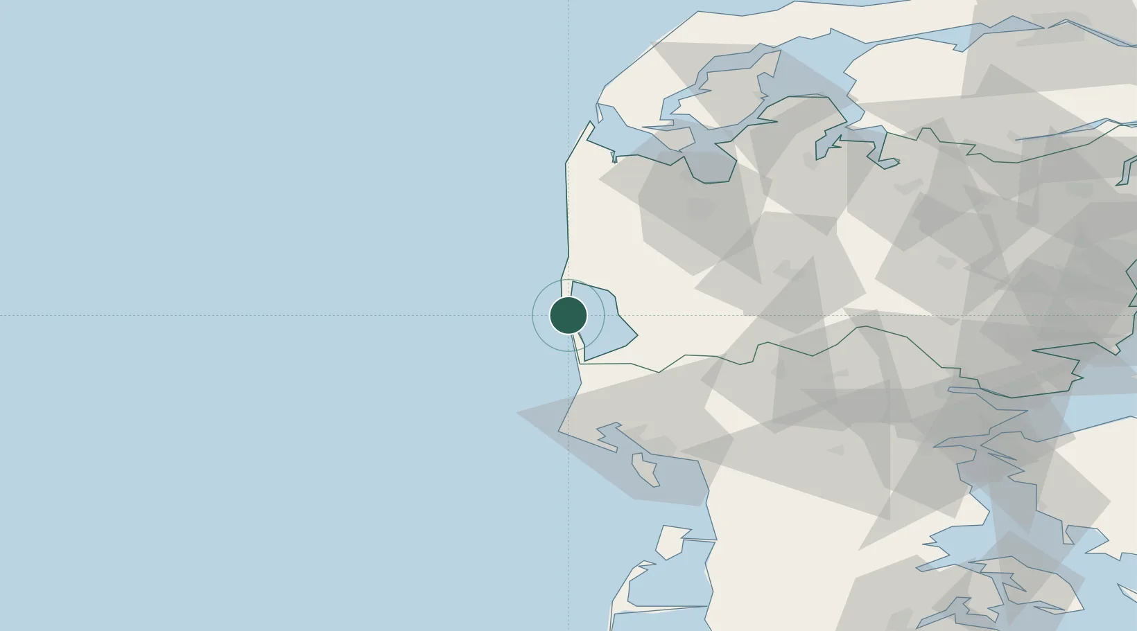
Populated place
Region
Central Jutland
Population
2,874
Time zone
Europe/Copenhagen
Elevation
5 m
Location
Nearby Logistics Neighbours
Cities
- 1Ringkøbing13 km
- 2Stavning16 km
- 3Oelgod35 km
- 4Oksbol40 km
- 5Torsminde43 km
Ports
- 1Ringkobing13 km
- 2Esbjerg61 km
- 3Holstebro-Stuer64 km
- 4Lemvig67 km
- 5Thyboron80 km
Airports
- 1Stauning Vestjylland Airport14 km
- 2Esbjerg Airport57 km
- 3Billund Airport69 km
- 4Midtjyllands Airport / Air Base Karup70 km
- 5Skive Airport90 km
Trade Zones
DatabookThe Record of Consolidated Knowledge
Denmark beyond logistics?