UN/LOCODE hub · Denmark
DKRKG

Ringkøbing

56.0833°, 8.2333°
2
Transport functions

Transport Functions

Rail
Road
Ringkøbing is also a profiled seaport →
UN/LOCODE

Hub Profile

Region
82
GeoNames

Location

Location of DKRKG
Natural Earth 10m (public domain) · 82 · DKRKG · 56.08, 8.23GoogleOSMYandex

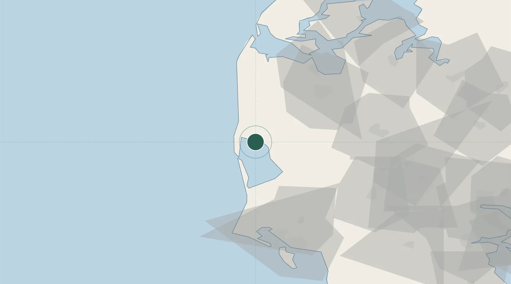
Nearby Logistics Neighbours

Cities
  1. 1Hvide Sande13 km
  2. 2Stavning16 km
  3. 3Torsminde32 km
  4. 4Bækmarksbro37 km
  5. 5Oelgod38 km
Nearest neighbours — logibook spatial index (haversine) over the source coordinates
Ports
  1. 1Holstebro-Stuer51 km
  2. 2Lemvig56 km
  3. 3Thyboron69 km
  4. 4Esbjerg70 km
  5. 5Vejle92 km
Nearest neighbours — logibook spatial index (haversine) over the source coordinates
Airports
  1. 1Stauning Vestjylland Airport13 km
  2. 2Midtjyllands Airport / Air Base Karup59 km
  3. 3Esbjerg Airport65 km
  4. 4Billund Airport69 km
  5. 5Skive Airport78 km
Nearest neighbours — logibook spatial index (haversine) over the source coordinates
Trade Zones
  1. 1Freeport of Kiel230 km
  2. 2Freeport of Cuxhaven (Freihafen Cuxhaven)252 km
  3. 3Freeport of Copenhagen- Nordhavn275 km
  4. 4Gothenburg Boundless Customs Warehouse282 km
  5. 5MTS Malmö Transport and Spedition308 km
Nearest neighbours — logibook spatial index (haversine) over the source coordinates
DatabookThe Record of Consolidated Knowledge
Denmark beyond logistics?
Browse databook

All Sources

LocationsUN/LOCODE
UN/LOCODE — free
Portsthe NGA World Port Index
Public domain (US gov)
AirportsOurAirports
Public domain
Trade Zonesthe World Bank SEZ database
CC BY 4.0
Trade ZonesOpen Zone Map
CC BY
← Denmark locations