UN/LOCODE hub · Denmark
DKTMD

Torsminde

56.3667°, 8.1167°
2
Transport functions

Transport Functions

Port
Road
UN/LOCODE

Hub Profile

Region
82
GeoNames

Location

Location of DKTMD
Natural Earth 10m (public domain) · 82 · DKTMD · 56.37, 8.12GoogleOSMYandex

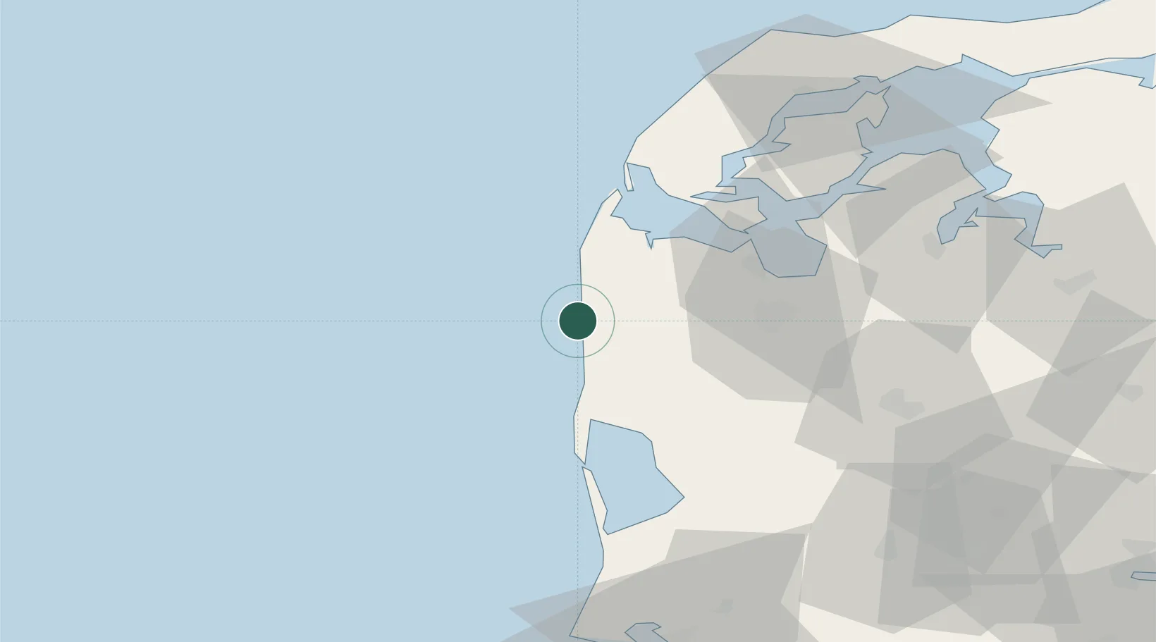
Nearby Logistics Neighbours

Cities
  1. 1Bøvlingbjerg9 km
  2. 2Bækmarksbro14 km
  3. 3Harboør28 km
  4. 4Ringkøbing32 km
  5. 5Kleppen34 km
Nearest neighbours — logibook spatial index (haversine) over the source coordinates
Ports
  1. 1Lemvig26 km
  2. 2Holstebro-Stuer32 km
  3. 3Ringkobing33 km
  4. 4Thyboron38 km
  5. 5Thisted74 km
Nearest neighbours — logibook spatial index (haversine) over the source coordinates
Airports
  1. 1Stauning Vestjylland Airport44 km
  2. 2Midtjyllands Airport / Air Base Karup61 km
  3. 3Skive Airport68 km
  4. 4Thisted Airport86 km
  5. 5Billund Airport95 km
Nearest neighbours — logibook spatial index (haversine) over the source coordinates
Trade Zones
  1. 1Freeport of Kiel261 km
  2. 2Gothenburg Boundless Customs Warehouse269 km
  3. 3Freeport of Cuxhaven (Freihafen Cuxhaven)284 km
  4. 4Freeport of Copenhagen- Nordhavn288 km
  5. 5MTS Malmö Transport and Spedition321 km
Nearest neighbours — logibook spatial index (haversine) over the source coordinates
DatabookThe Record of Consolidated Knowledge
Denmark beyond logistics?
Browse databook

All Sources

LocationsUN/LOCODE
UN/LOCODE — free
Portsthe NGA World Port Index
Public domain (US gov)
AirportsOurAirports
Public domain
Trade Zonesthe World Bank SEZ database
CC BY 4.0
Trade ZonesOpen Zone Map
CC BY
← Denmark locations