UN/LOCODE hub · Denmark
DKSTA

Stavning

55.9667°, 8.3833°
2
Transport functions

Transport Functions

Port
Airport
UN/LOCODE

Hub Profile

Place type
Populated place
GeoNames
Region
Central Jutland
GeoNames
Time zone
Europe/Copenhagen
GeoNames
Elevation
4 m
GeoNames

Location

Location of DKSTA
Natural Earth 10m (public domain) · Central Jutland · DKSTA · 55.97, 8.38GoogleOSMYandex

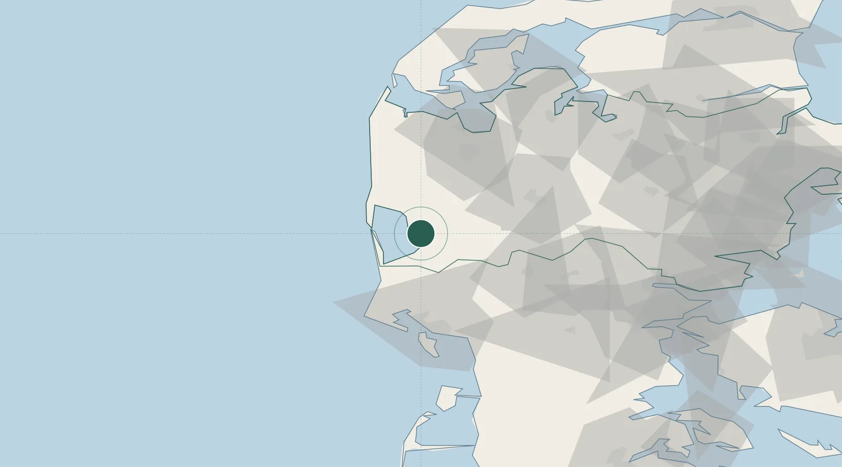
Nearby Logistics Neighbours

Cities
  1. 1Hvide Sande16 km
  2. 2Ringkøbing16 km
  3. 3Oelgod22 km
  4. 4Oksbol38 km
  5. 5Torsminde47 km
Nearest neighbours — logibook spatial index (haversine) over the source coordinates
Ports
  1. 1Ringkobing15 km
  2. 2Esbjerg56 km
  3. 3Holstebro-Stuer61 km
  4. 4Lemvig69 km
  5. 5Vejle78 km
Nearest neighbours — logibook spatial index (haversine) over the source coordinates
Airports
  1. 1Stauning Vestjylland Airport3 km
  2. 2Esbjerg Airport50 km
  3. 3Billund Airport55 km
  4. 4Midtjyllands Airport / Air Base Karup58 km
  5. 5Skive Airport81 km
Nearest neighbours — logibook spatial index (haversine) over the source coordinates
Trade Zones
  1. 1Freeport of Kiel214 km
  2. 2Freeport of Cuxhaven (Freihafen Cuxhaven)238 km
  3. 3Freeport of Copenhagen- Nordhavn265 km
  4. 4Gothenburg Boundless Customs Warehouse284 km
  5. 5MTS Malmö Transport and Spedition297 km
Nearest neighbours — logibook spatial index (haversine) over the source coordinates
DatabookThe Record of Consolidated Knowledge
Denmark beyond logistics?
Browse databook

All Sources

LocationsUN/LOCODE
UN/LOCODE — free
Portsthe NGA World Port Index
Public domain (US gov)
AirportsOurAirports
Public domain
Trade Zonesthe World Bank SEZ database
CC BY 4.0
Trade ZonesOpen Zone Map
CC BY
← Denmark locations