UN/LOCODE hub · Denmark
DKBKM

Bækmarksbro

56.4167°, 8.3167°
2
Transport functions

Transport Functions

Rail
Road
UN/LOCODE

Hub Profile

Region
82
GeoNames

Location

Location of DKBKM
Natural Earth 10m (public domain) · 82 · DKBKM · 56.42, 8.32GoogleOSMYandex

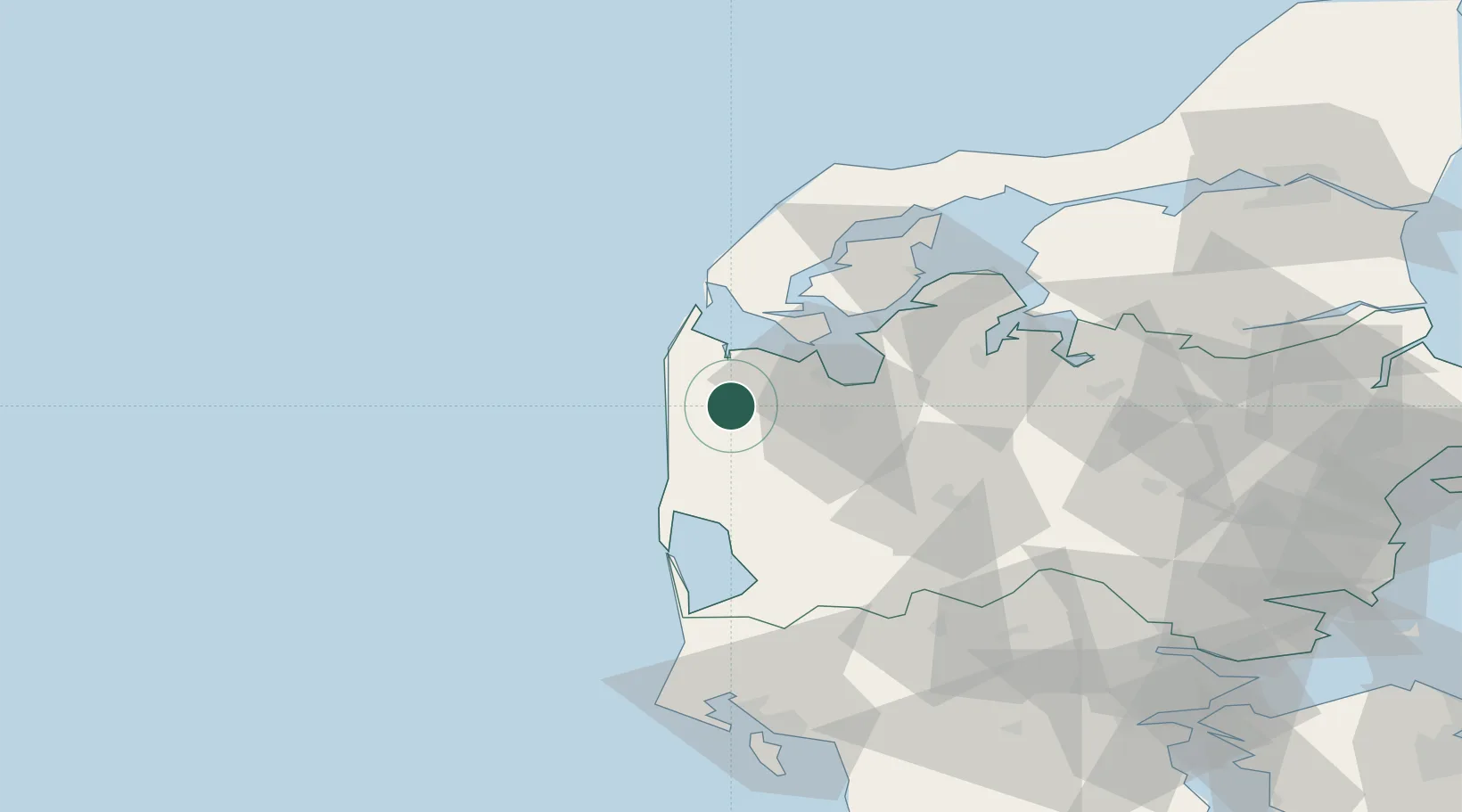
Nearby Logistics Neighbours

Cities
  1. 1Bøvlingbjerg7 km
  2. 2Torsminde14 km
  3. 3Kleppen21 km
  4. 4Harboør24 km
  5. 5Thyholm29 km
Nearest neighbours — logibook spatial index (haversine) over the source coordinates
Ports
  1. 1Lemvig19 km
  2. 2Holstebro-Stuer19 km
  3. 3Thyboron32 km
  4. 4Ringkobing37 km
  5. 5Thisted64 km
Nearest neighbours — logibook spatial index (haversine) over the source coordinates
Airports
  1. 1Stauning Vestjylland Airport48 km
  2. 2Midtjyllands Airport / Air Base Karup50 km
  3. 3Skive Airport55 km
  4. 4Thisted Airport76 km
  5. 5Billund Airport92 km
Nearest neighbours — logibook spatial index (haversine) over the source coordinates
Trade Zones
  1. 1Gothenburg Boundless Customs Warehouse255 km
  2. 2Freeport of Kiel260 km
  3. 3Freeport of Copenhagen- Nordhavn277 km
  4. 4Freeport of Cuxhaven (Freihafen Cuxhaven)289 km
  5. 5MTS Malmö Transport and Spedition310 km
Nearest neighbours — logibook spatial index (haversine) over the source coordinates
DatabookThe Record of Consolidated Knowledge
Denmark beyond logistics?
Browse databook

All Sources

LocationsUN/LOCODE
UN/LOCODE — free
Portsthe NGA World Port Index
Public domain (US gov)
AirportsOurAirports
Public domain
Trade Zonesthe World Bank SEZ database
CC BY 4.0
Trade ZonesOpen Zone Map
CC BY
← Denmark locations