Transport Functions
Rail
Road
Hub Profile
Place type
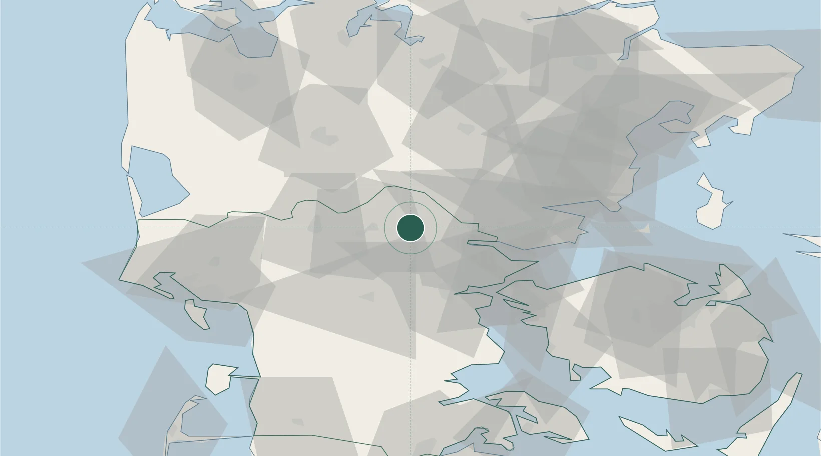
Populated place
Region
South Denmark
Time zone
Europe/Copenhagen
Elevation
82 m
Location
Nearby Logistics Neighbours
Cities
- 1Jelling8 km
- 2Nørre Snede21 km
- 3Vorbasse21 km
- 4Brejning26 km
- 5Hampen28 km
Ports
- 1Vejle16 km
- 2Kolding34 km
- 3Skaerbaek34 km
- 4Horsens35 km
- 5Fredericia36 km
Airports
- 1Billund Airport10 km
- 2Kolding Vamdrup Airfield37 km
- 3Esbjerg Airport55 km
- 4Midtjyllands Airport / Air Base Karup60 km
- 5Skrydstrup Air Base61 km
Trade Zones
DatabookThe Record of Consolidated Knowledge
Denmark beyond logistics?