Transport Functions
Port
Road
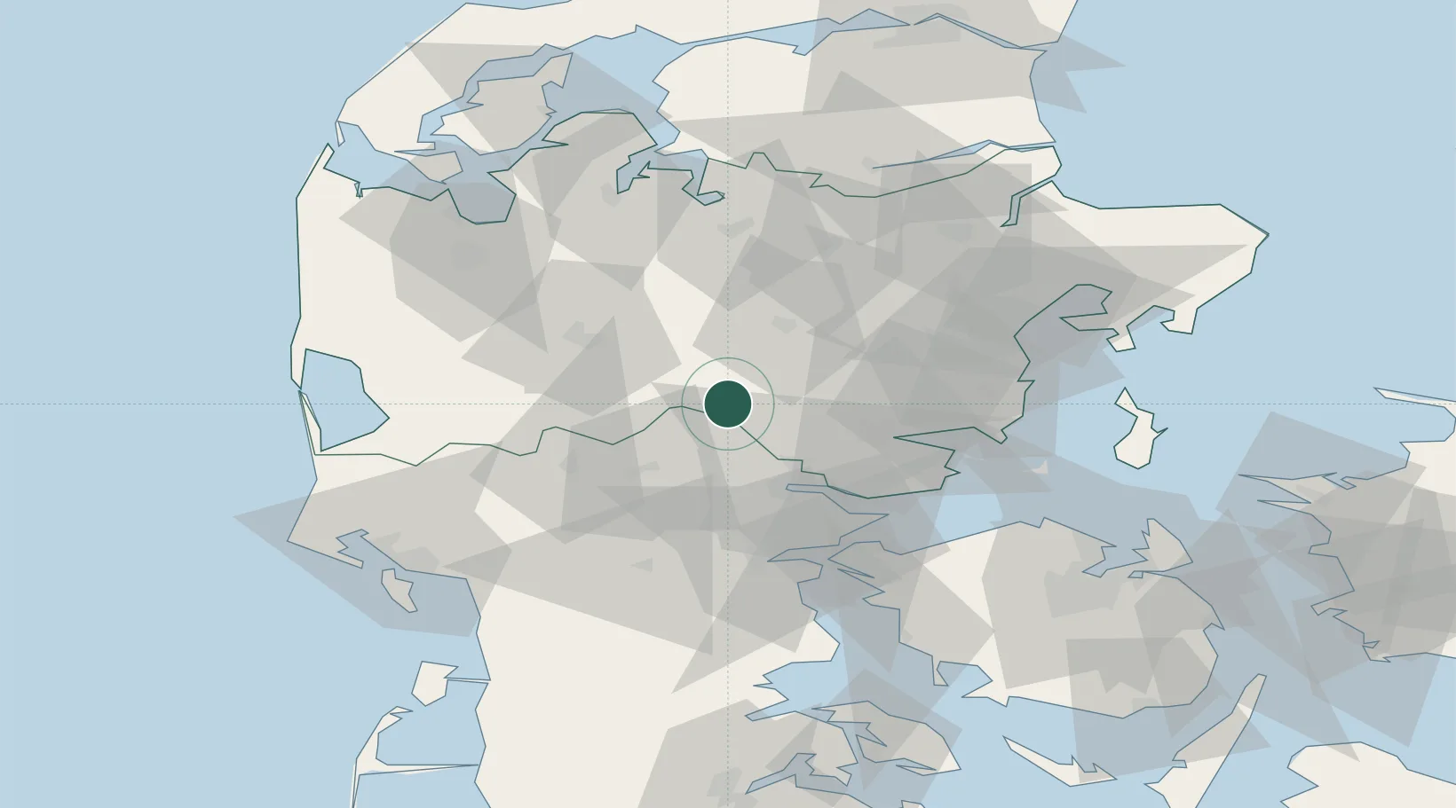
Location
Nearby Logistics Neighbours
Cities
- 1Hampen8 km
- 2Gadbjerg21 km
- 3Jelling23 km
- 4Ry27 km
- 5Skanderborg30 km
Ports
- 1Vejle28 km
- 2Horsens31 km
- 3Fredericia49 km
- 4Skaerbaek50 km
- 5Kolding52 km
Airports
Trade Zones
DatabookThe Record of Consolidated Knowledge
Denmark beyond logistics?