Transport Functions
Multimodal
Hub Profile
Place type
Populated place
Region
Central Jutland
Time zone
Europe/Copenhagen
Elevation
81 m
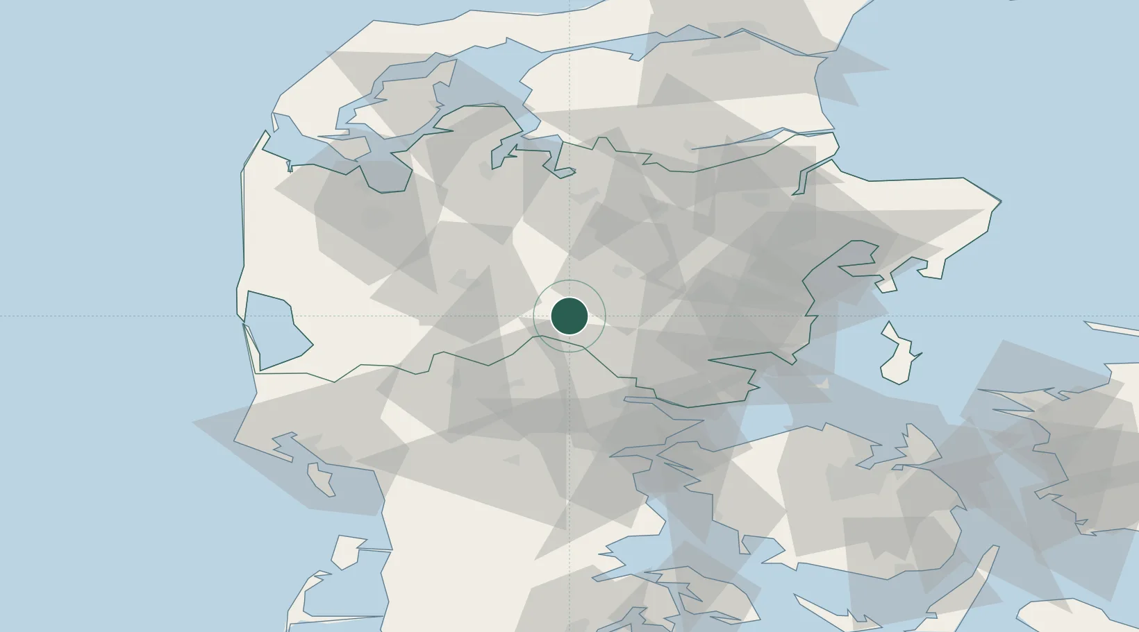
Location
Nearby Logistics Neighbours
Cities
- 1Nørre Snede8 km
- 2Ry26 km
- 3Gadbjerg28 km
- 4Skanderborg30 km
- 5Jelling30 km
Ports
- 1Horsens35 km
- 2Vejle36 km
- 3Arhus56 km
- 4Fredericia56 km
- 5Skaerbaek58 km
Airports
- 1Billund Airport33 km
- 2Midtjyllands Airport / Air Base Karup35 km
- 3Aarhus Seaplane Terminal58 km
- 4Skive Airport60 km
- 5Stauning Vestjylland Airport62 km
Trade Zones
DatabookThe Record of Consolidated Knowledge
Denmark beyond logistics?