UN/LOCODE hub · Denmark
DKCSO
Christiansø Havn
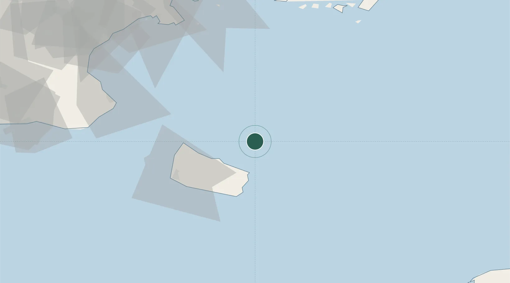
55.3167°, 15.1833°
10,140
Population
1
Transport functions
Transport Functions
Port
Hub Profile
Place type
Urban district
Region
Capital Region
Population
10,140
Time zone
Europe/Copenhagen
Elevation
7 m
Location
Nearby Logistics Neighbours
Cities
- 1Gudhjem18 km
- 2Svaneke21 km
- 3Allinge25 km
- 4Sandvig26 km
- 5Hammerhavn28 km
Ports
- 1Nekso28 km
- 2Hasle34 km
- 3Ronne39 km
- 4Simrishamn59 km
- 5Ahus87 km
Airports
- 1Bornholm Airport39 km
- 2Kristianstad Airport96 km
- 3Ronneby Airport106 km
- 4Malmö Sturup Airport117 km
- 5Ljungbyhed Airfield150 km
Trade Zones
- 1MTS Malmö Transport and Spedition136 km
- 2Słupsk SEZ (Słupska SSE)151 km
- 3Swinoujscie Duty Free Zone168 km
- 4Freeport of Copenhagen- Nordhavn168 km
- 5Szczecin Duty Free Zone215 km
DatabookThe Record of Consolidated Knowledge
Denmark beyond logistics?