Channel & Berth Profile
Pilotage, Tugs & Services
Pilotage compulsoryNO
Pilotage availableYES
Local assistanceYES
Potable waterYES
Diesel bunkersYES
MedicalYES
Garbage disposalYES
Facilities & Capabilities
Container—
Ro-Ro—
Liquid bulk—
Dry bulk—
Oil terminal—
Break bulk—
Dry dock—
RepairsNO
BunkeringYES
Rail link—
Dangerous cargo—
ISPS security—
Harbour Specifications
Harbour size
Very Small
Harbour type
Coastal (Breakwater)
Shelter
Fair
Water body
Baltic Sea; North Atlantic Ocean
Overhead limit
Yes
Pilotage
No
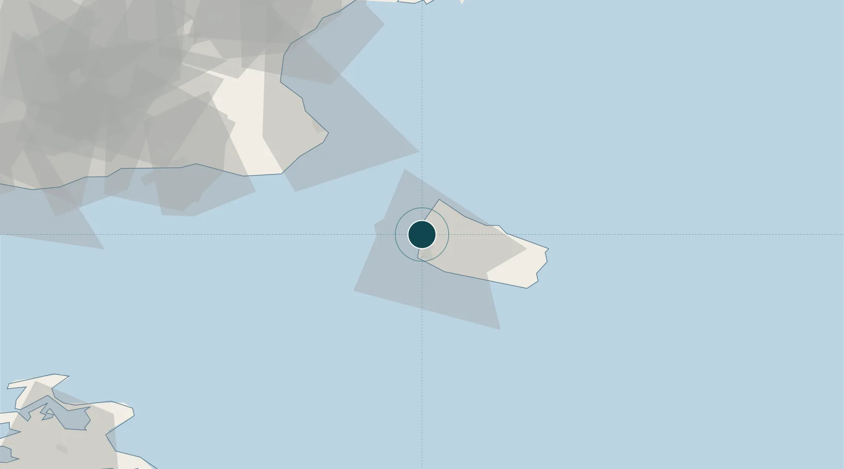
Location
Nearby Logistics Neighbours
Ports
- 1Ronne9 km
- 2Nekso31 km
- 3Christianso Harbor34 km
- 4Simrishamn47 km
- 5Ystad62 km
Cities
- 1Allinge11 km
- 2Hammerhavn12 km
- 3Sandvig12 km
- 4Gudhjem17 km
- 5Åkirkeby20 km
Airports
- 1Bornholm Airport14 km
- 2Kristianstad Airport91 km
- 3Malmö Sturup Airport92 km
- 4Ronneby Airport126 km
- 5Ljungbyhed Airfield137 km
Trade Zones
- 1MTS Malmö Transport and Spedition112 km
- 2Freeport of Copenhagen- Nordhavn145 km
- 3Swinoujscie Duty Free Zone146 km
- 4Słupsk SEZ (Słupska SSE)169 km
- 5Szczecin Duty Free Zone196 km
DatabookThe Record of Consolidated Knowledge
Denmark beyond logistics?