Transport Functions
Port
Road
Hub Profile
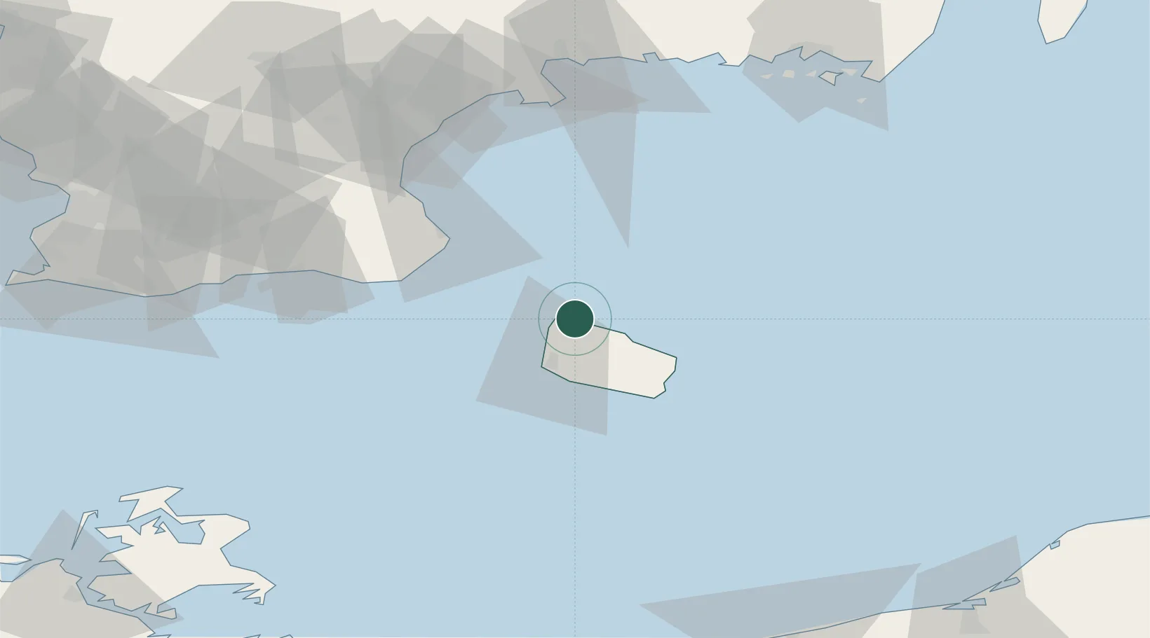
Place type
Populated place
Region
Capital Region
Population
1,446
Time zone
Europe/Copenhagen
Elevation
14 m
Location
Nearby Logistics Neighbours
Cities
- 1Sandvig2 km
- 2Hammerhavn4 km
- 3Gudhjem12 km
- 4Åkirkeby24 km
- 5Christiansø Havn25 km
Ports
- 1Hasle11 km
- 2Ronne20 km
- 3Christianso Harbor25 km
- 4Nekso31 km
- 5Simrishamn43 km
Airports
- 1Bornholm Airport23 km
- 2Kristianstad Airport86 km
- 3Malmö Sturup Airport95 km
- 4Ronneby Airport115 km
- 5Ljungbyhed Airfield135 km
Trade Zones
- 1MTS Malmö Transport and Spedition114 km
- 2Freeport of Copenhagen- Nordhavn147 km
- 3Swinoujscie Duty Free Zone156 km
- 4Słupsk SEZ (Słupska SSE)168 km
- 5Szczecin Duty Free Zone206 km
DatabookThe Record of Consolidated Knowledge
Denmark beyond logistics?