Transport Functions
Port
Road
Hub Profile
Place type
Populated place
Region
Capital Region
Time zone
Europe/Copenhagen
Elevation
14 m
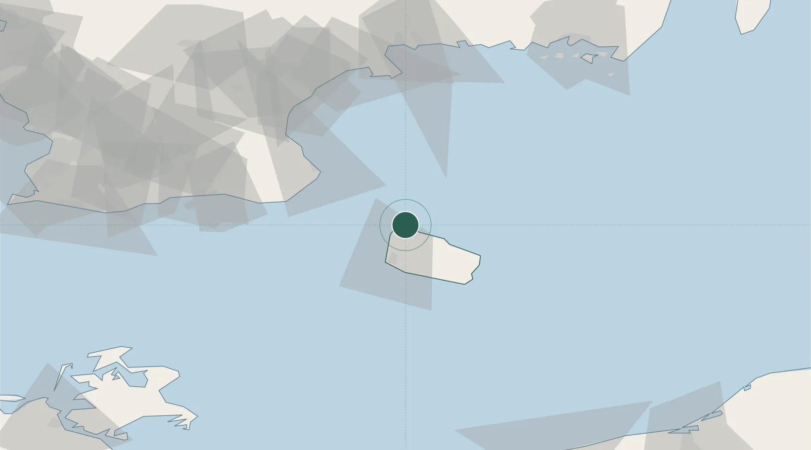
Location
Nearby Logistics Neighbours
Cities
- 1Hammerhavn2 km
- 2Allinge2 km
- 3Gudhjem14 km
- 4Christiansø Havn26 km
- 5Åkirkeby26 km
Ports
- 1Hasle12 km
- 2Ronne21 km
- 3Christianso Harbor26 km
- 4Nekso33 km
- 5Simrishamn41 km
Airports
- 1Bornholm Airport25 km
- 2Kristianstad Airport83 km
- 3Malmö Sturup Airport93 km
- 4Ronneby Airport113 km
- 5Ljungbyhed Airfield133 km
Trade Zones
- 1MTS Malmö Transport and Spedition112 km
- 2Freeport of Copenhagen- Nordhavn146 km
- 3Swinoujscie Duty Free Zone158 km
- 4Słupsk SEZ (Słupska SSE)170 km
- 5Szczecin Duty Free Zone208 km
DatabookThe Record of Consolidated Knowledge
Denmark beyond logistics?