Transport Functions
Port
Road
Hub Profile
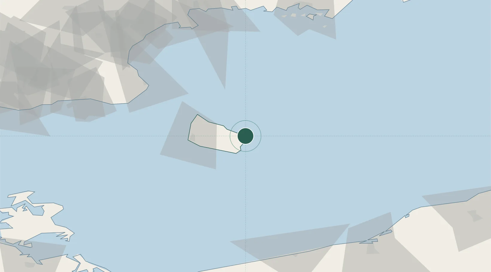
Place type
Populated place
Region
Capital Region
Population
1,079
Time zone
Europe/Copenhagen
Elevation
11 m
Location
Nearby Logistics Neighbours
Cities
- 1Gudhjem15 km
- 2Åkirkeby16 km
- 3Christiansø Havn21 km
- 4Allinge27 km
- 5Sandvig29 km
Ports
- 1Nekso8 km
- 2Christianso Harbor21 km
- 3Ronne29 km
- 4Hasle29 km
- 5Simrishamn69 km
Airports
- 1Bornholm Airport26 km
- 2Kristianstad Airport110 km
- 3Malmö Sturup Airport121 km
- 4Ronneby Airport126 km
- 5Heringsdorf Airport154 km
Trade Zones
- 1MTS Malmö Transport and Spedition140 km
- 2Słupsk SEZ (Słupska SSE)142 km
- 3Swinoujscie Duty Free Zone149 km
- 4Freeport of Copenhagen- Nordhavn173 km
- 5Szczecin Duty Free Zone194 km
DatabookThe Record of Consolidated Knowledge
Denmark beyond logistics?