Transport Functions
Port
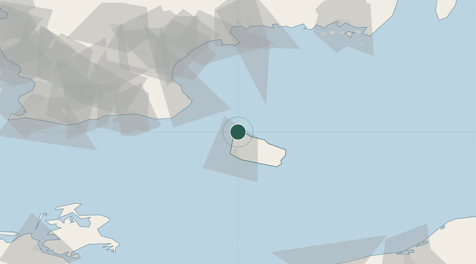
Location
Nearby Logistics Neighbours
Cities
- 1Sandvig2 km
- 2Allinge4 km
- 3Gudhjem16 km
- 4Åkirkeby27 km
- 5Christiansø Havn28 km
Ports
- 1Hasle12 km
- 2Ronne21 km
- 3Christianso Harbor28 km
- 4Nekso34 km
- 5Simrishamn39 km
Airports
- 1Bornholm Airport25 km
- 2Kristianstad Airport82 km
- 3Malmö Sturup Airport91 km
- 4Ronneby Airport114 km
- 5Ljungbyhed Airfield131 km
Trade Zones
- 1MTS Malmö Transport and Spedition110 km
- 2Freeport of Copenhagen- Nordhavn144 km
- 3Swinoujscie Duty Free Zone157 km
- 4Słupsk SEZ (Słupska SSE)172 km
- 5Szczecin Duty Free Zone207 km
DatabookThe Record of Consolidated Knowledge
Denmark beyond logistics?