Transport Functions
Port
Road
Hub Profile
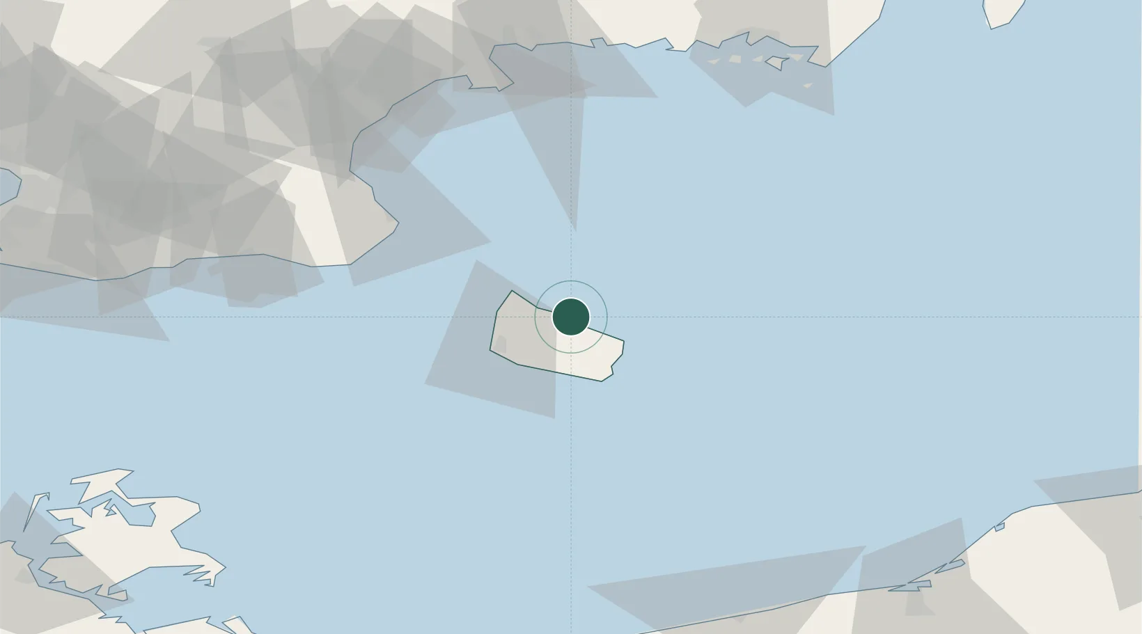
Place type
Populated place
Region
Capital Region
Population
736
Time zone
Europe/Copenhagen
Elevation
24 m
Location
Nearby Logistics Neighbours
Cities
- 1Allinge12 km
- 2Sandvig14 km
- 3Svaneke15 km
- 4Hammerhavn16 km
- 5Åkirkeby17 km
Ports
- 1Hasle17 km
- 2Christianso Harbor18 km
- 3Nekso20 km
- 4Ronne21 km
- 5Simrishamn54 km
Airports
- 1Bornholm Airport22 km
- 2Kristianstad Airport96 km
- 3Malmö Sturup Airport107 km
- 4Ronneby Airport118 km
- 5Ljungbyhed Airfield146 km
Trade Zones
- 1MTS Malmö Transport and Spedition126 km
- 2Swinoujscie Duty Free Zone153 km
- 3Słupsk SEZ (Słupska SSE)156 km
- 4Freeport of Copenhagen- Nordhavn159 km
- 5Szczecin Duty Free Zone201 km
DatabookThe Record of Consolidated Knowledge
Denmark beyond logistics?