Transport Functions
Multimodal
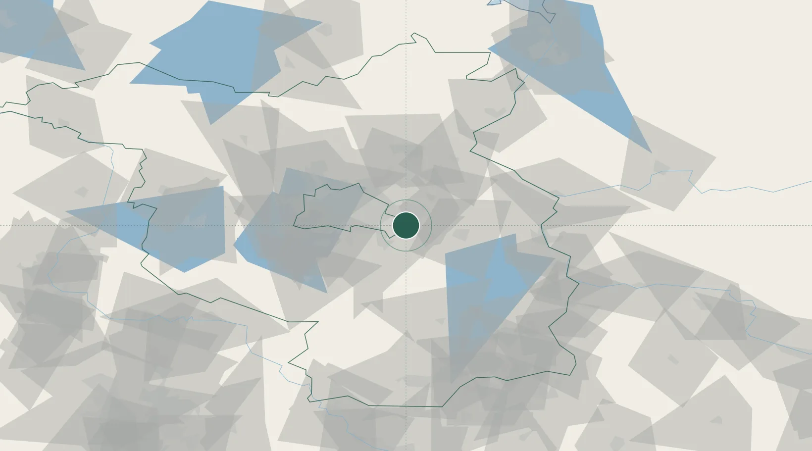
Hub Profile
Place type
Populated place
Region
Brandenburg
Population
11,741
Time zone
Europe/Berlin
Elevation
38 m
Location
Nearby Logistics Neighbours
Cities
- 1Woltersdorf4 km
- 2Grünheide5 km
- 3Rüdersdorf6 km
- 4Zeuthen11 km
- 5Hennickendorf12 km
Ports
- 1Szczecin124 km
- 2Police139 km
- 3Swinoujscie170 km
- 4Wolgast182 km
- 5Stralsund216 km
Airports
- 1Berlin Brandenburg Airport18 km
- 2Holzdorf Air Base82 km
- 3Zerbst Airfield119 km
- 4Neubrandenburg Trollenhagen Airport135 km
- 5Dresden Airport143 km
Trade Zones
- 1Kostrzyń-Słubice SEZ63 km
- 2Szczecin Duty Free Zone125 km
- 3Swinoujscie Duty Free Zone168 km
- 4Legnica SEZ (Legnicka SSE)196 km
- 5Most - Joseph Industrial Zone215 km
DatabookThe Record of Consolidated Knowledge
Germany beyond logistics?