Transport Functions
Multimodal
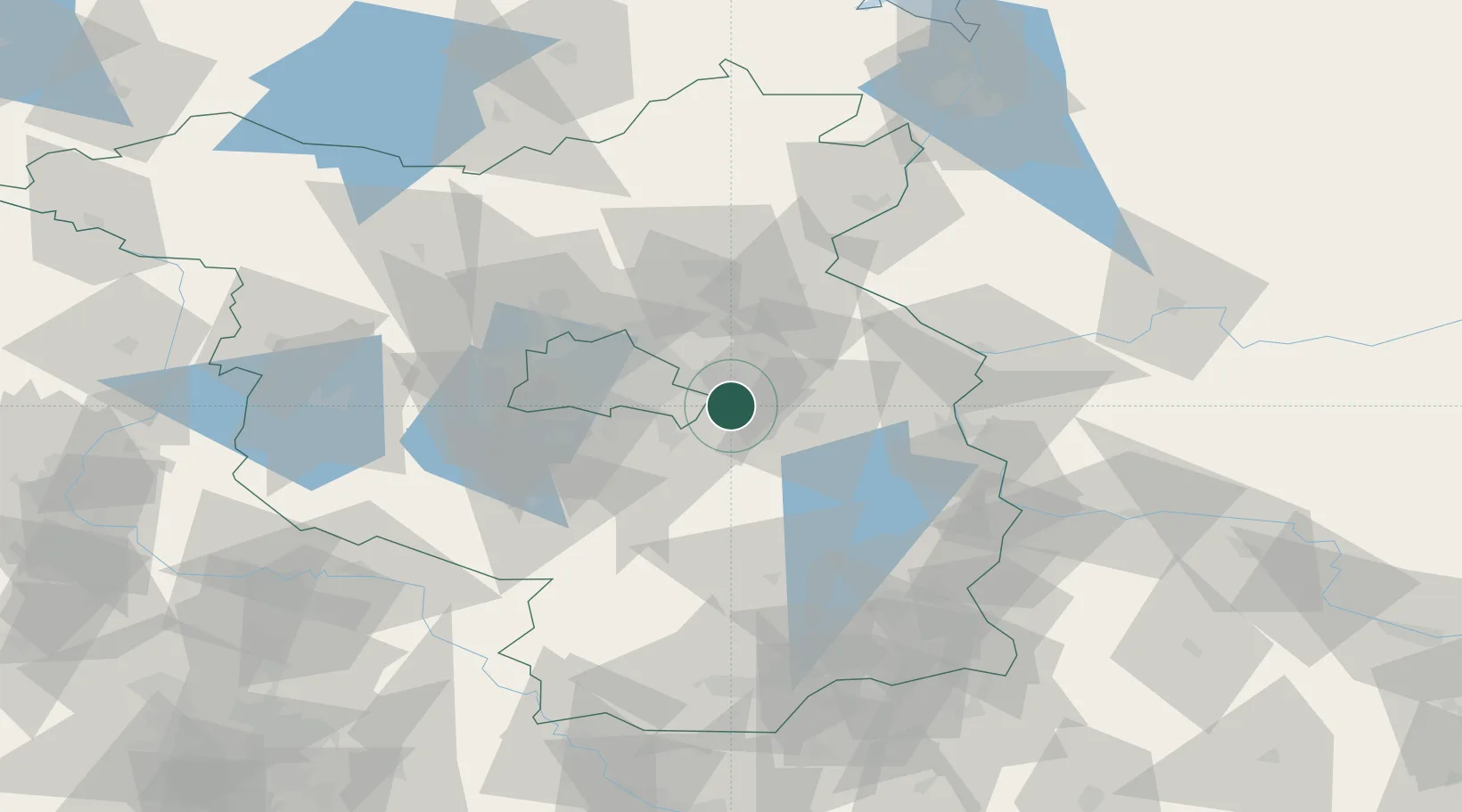
Hub Profile
Region
BB
Location
Nearby Logistics Neighbours
Cities
- 1Erkner5 km
- 2Woltersdorf5 km
- 3Rüdersdorf6 km
- 4Hennickendorf10 km
- 5Braunsdorf11 km
Ports
- 1Szczecin122 km
- 2Police137 km
- 3Swinoujscie170 km
- 4Wolgast182 km
- 5Stralsund217 km
Airports
- 1Berlin Brandenburg Airport22 km
- 2Holzdorf Air Base85 km
- 3Zerbst Airfield123 km
- 4Neubrandenburg Trollenhagen Airport136 km
- 5Zielona Góra-Babimost Airport138 km
Trade Zones
- 1Kostrzyń-Słubice SEZ59 km
- 2Szczecin Duty Free Zone123 km
- 3Swinoujscie Duty Free Zone167 km
- 4Legnica SEZ (Legnicka SSE)193 km
- 5Most - Joseph Industrial Zone215 km
DatabookThe Record of Consolidated Knowledge
Germany beyond logistics?