Transport Functions
Rail
Road
Hub Profile
Place type
Local administrative seat
Region
Rheinland-Pfalz
Population
1,951
Time zone
Europe/Berlin
Elevation
184 m
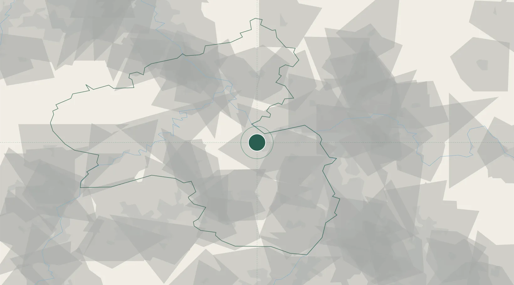
Location
Nearby Logistics Neighbours
Cities
- 1Schweppenhausen2 km
- 2Gutenberg2 km
- 3Rümmelsheim5 km
- 4Rüdesheim6 km
- 5Laubenheim6 km
Airports
- 1Mainz-Finthen Airfield25 km
- 2Wiesbaden Army Airfield40 km
- 3Frankfurt-Hahn Airport40 km
- 4Ramstein Air Base54 km
- 5Frankfurt Main Airport55 km
Trade Zones
- 1ZFU La Cité Behren-lès-Forbach104 km
- 2Luxembourg Free Port118 km
- 3ZFU Hautepierre145 km
- 4ZFU Woippy-Metz146 km
- 5ZFU Metz149 km
DatabookThe Record of Consolidated Knowledge
Germany beyond logistics?