Transport Functions
Road
Multimodal
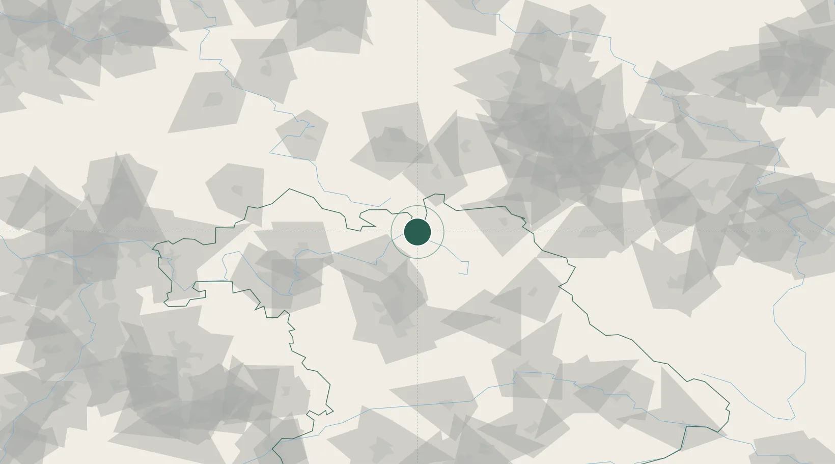
Hub Profile
Place type
Populated place
Region
Thuringia
Population
3,693
Time zone
Europe/Berlin
Elevation
411 m
Location
Nearby Logistics Neighbours
Cities
- 1Sonnefeld5 km
- 2Hochstadt am Main6 km
- 3Heubisch13 km
- 4Weismain13 km
- 5Kösten14 km
Airports
- 1Bamberg-Breitenau Airfield37 km
- 2Bayreuth Airport40 km
- 3Hof-Plauen Airport48 km
- 4Grafenwöhr Army Air Field77 km
- 5Nuremberg Airport79 km
Trade Zones
DatabookThe Record of Consolidated Knowledge
Germany beyond logistics?