Transport Functions
Port
Road
Hub Profile
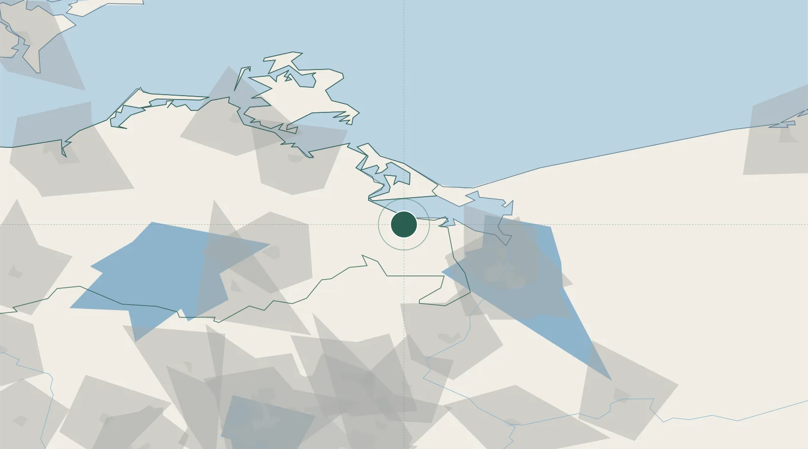
Place type
Populated place
Region
Mecklenburg-Vorpommern
Population
895
Time zone
Europe/Berlin
Elevation
2 m
Location
Nearby Logistics Neighbours
Cities
- 1Ueckermünde3 km
- 2Grambin6 km
- 3Eggesin6 km
- 4Torgelow9 km
- 5Ferdinandshof10 km
Ports
- 1Swinoujscie28 km
- 2Police40 km
- 3Wolgast40 km
- 4Szczecin49 km
- 5Stralsund90 km
Airports
Trade Zones
- 1Swinoujscie Duty Free Zone26 km
- 2Szczecin Duty Free Zone49 km
- 3Kostrzyń-Słubice SEZ131 km
- 4Słupsk SEZ (Słupska SSE)213 km
- 5MTS Malmö Transport and Spedition218 km
DatabookThe Record of Consolidated Knowledge
Germany beyond logistics?