Transport Functions
Rail
Road
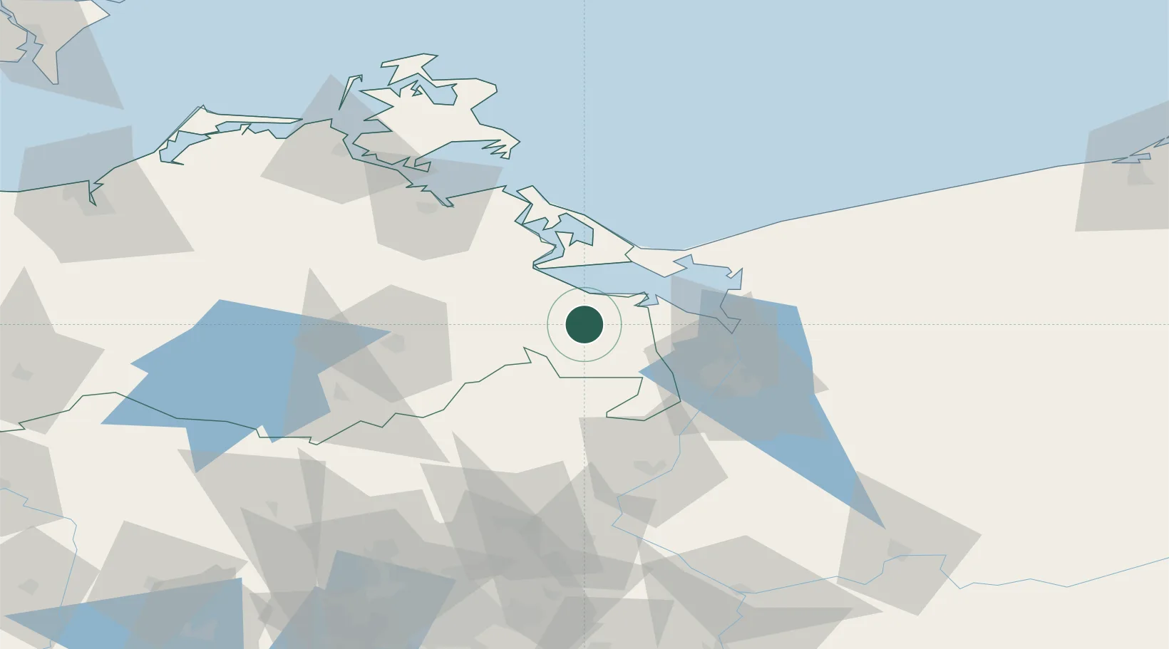
Hub Profile
Place type
Local administrative seat
Region
Mecklenburg-Vorpommern
Population
10,665
Time zone
Europe/Berlin
Elevation
10 m
Location
Nearby Logistics Neighbours
Cities
- 1Eggesin7 km
- 2Liepgarten9 km
- 3Ferdinandshof10 km
- 4Ueckermünde11 km
- 5Ahlbeck13 km
Ports
- 1Swinoujscie36 km
- 2Police37 km
- 3Szczecin43 km
- 4Wolgast49 km
- 5Stralsund97 km
Airports
Trade Zones
- 1Swinoujscie Duty Free Zone34 km
- 2Szczecin Duty Free Zone44 km
- 3Kostrzyń-Słubice SEZ123 km
- 4Słupsk SEZ (Słupska SSE)217 km
- 5MTS Malmö Transport and Spedition227 km
DatabookThe Record of Consolidated Knowledge
Germany beyond logistics?