Transport Functions
Port
Multimodal
Hub Profile
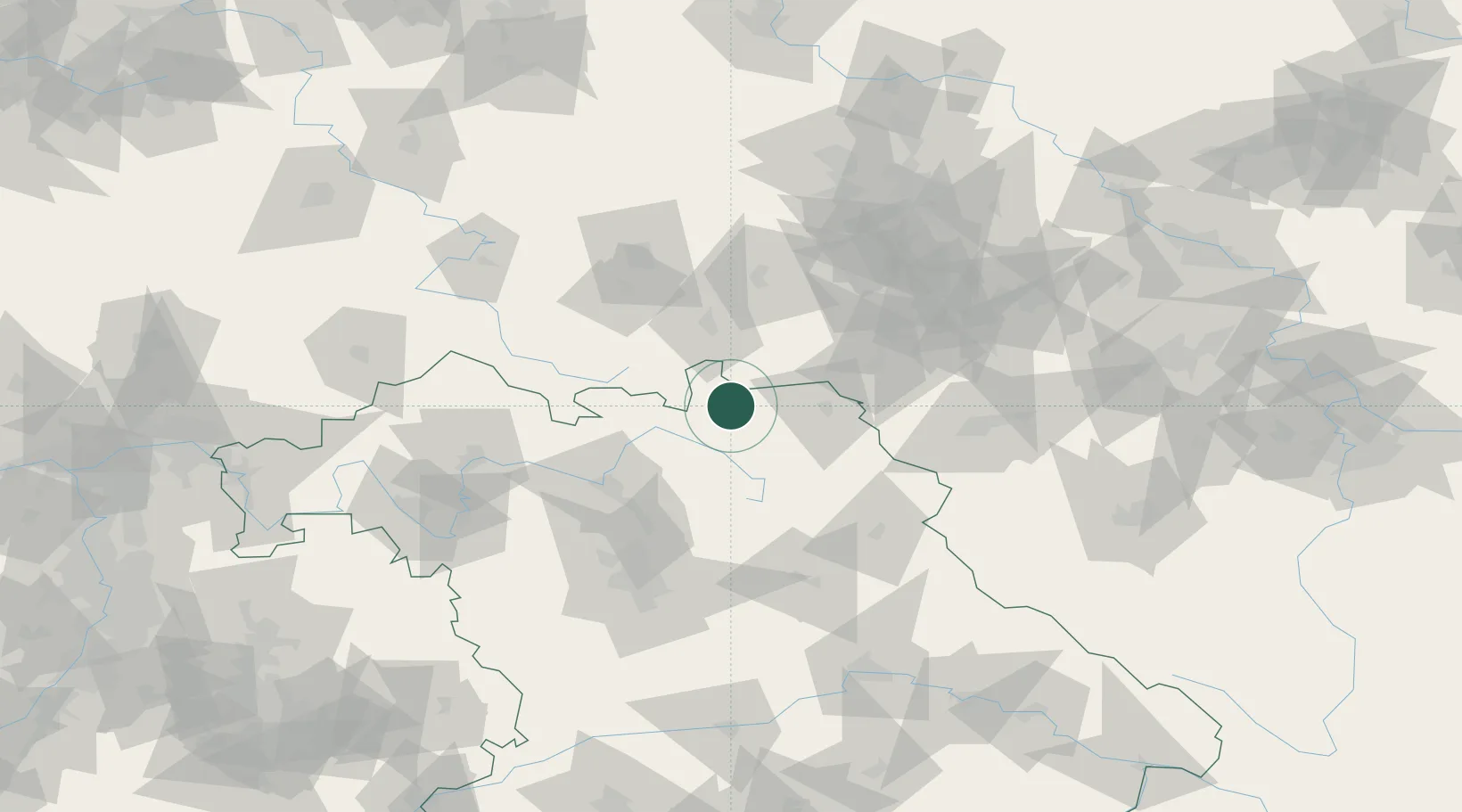
Place type
Populated place
Region
Bavaria
Population
3,869
Time zone
Europe/Berlin
Elevation
365 m
Location
Nearby Logistics Neighbours
Cities
- 1Presseck10 km
- 2Geroldsgrün10 km
- 3Schwarzenbach am Wald11 km
- 4Pressig12 km
- 5Grafengehaig13 km
Airports
- 1Hof-Plauen Airport28 km
- 2Bayreuth Airport37 km
- 3Bamberg-Breitenau Airfield58 km
- 4Grafenwöhr Army Air Field75 km
- 5Erfurt-Weimar Airport83 km
Trade Zones
DatabookThe Record of Consolidated Knowledge
Germany beyond logistics?