Transport Functions
Multimodal
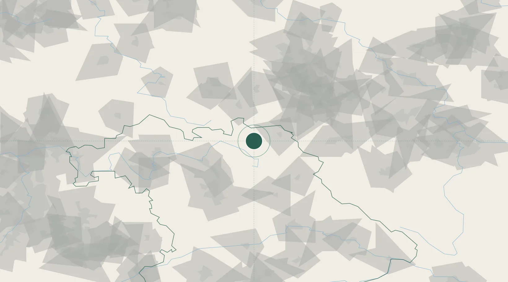
Hub Profile
Place type
Populated place
Region
Bavaria
Population
1,026
Time zone
Europe/Berlin
Elevation
575 m
Location
Nearby Logistics Neighbours
Cities
- 1Presseck4 km
- 2Marktleugast5 km
- 3Stadtsteinach6 km
- 4Schwarzenbach am Wald10 km
- 5Helmbrechts10 km
Airports
- 1Hof-Plauen Airport23 km
- 2Bayreuth Airport25 km
- 3Bamberg-Breitenau Airfield56 km
- 4Grafenwöhr Army Air Field62 km
- 5Nuremberg Airport86 km
Trade Zones
DatabookThe Record of Consolidated Knowledge
Germany beyond logistics?