UN/LOCODE hub · Germany
DEVTT

Vitte (Hiddensee)

54.5667°, 13.1000°
1
Transport functions

Transport Functions

Port
UN/LOCODE

Hub Profile

Region
MV
GeoNames

Location

Location of DEVTT
Natural Earth 10m (public domain) · MV · DEVTT · 54.57, 13.10GoogleOSMYandex

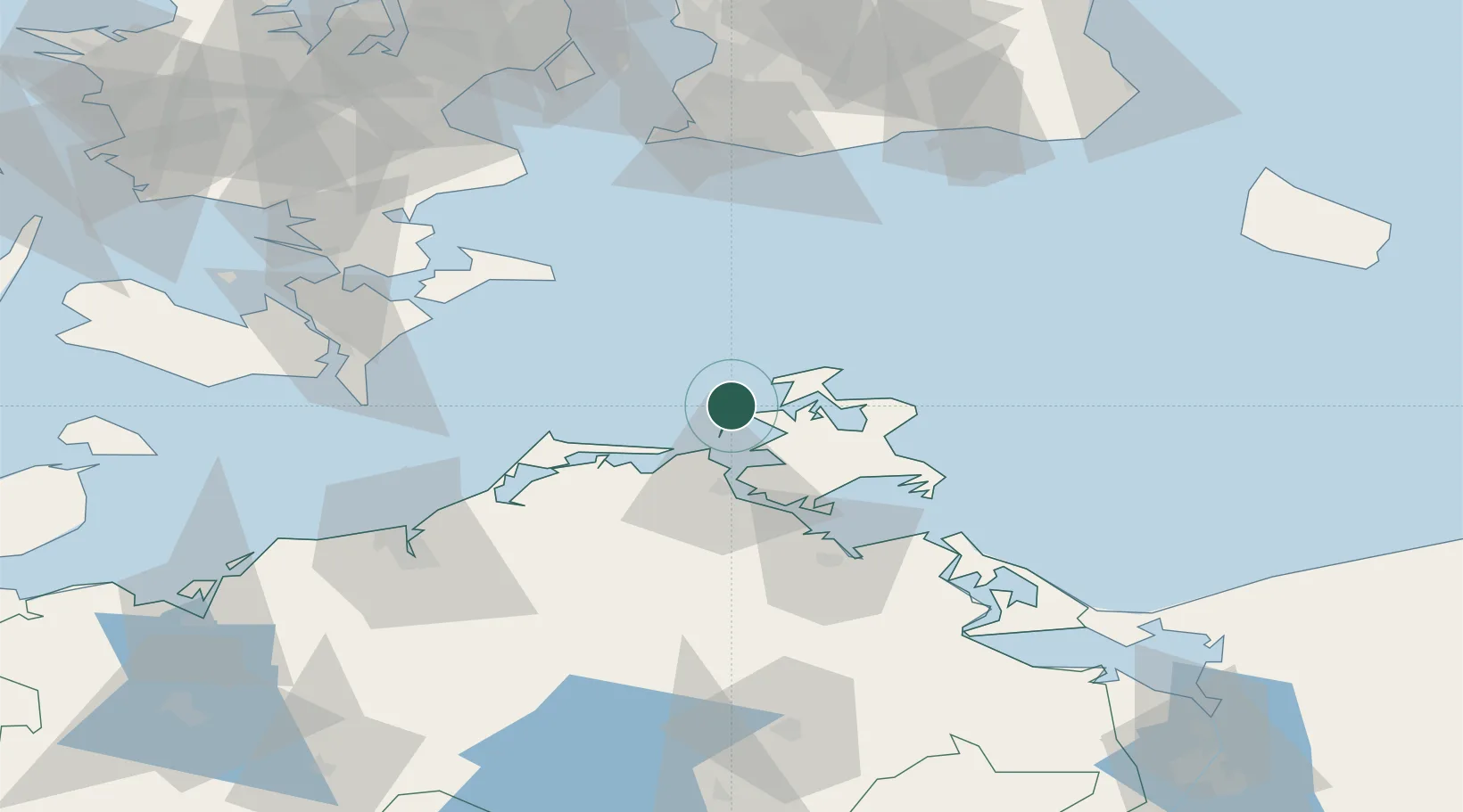
Nearby Logistics Neighbours

Cities
  1. 1Schaprode7 km
  2. 2Suhrendorf11 km
  3. 3Altenkirchen (Rügen)17 km
  4. 4Marlow29 km
  5. 5Zingst31 km
Nearest neighbours — logibook spatial index (haversine) over the source coordinates
Ports
  1. 1Stralsund28 km
  2. 2Sassnitz36 km
  3. 3Stege70 km
  4. 4Wolgast73 km
  5. 5Stubbekobing76 km
Nearest neighbours — logibook spatial index (haversine) over the source coordinates
Airports
  1. 1Rostock-Laage Airport90 km
  2. 2Heringsdorf Airport103 km
  3. 3Lolland Falster Maribo Airport108 km
  4. 4Neubrandenburg Trollenhagen Airport108 km
  5. 5Malmö Sturup Airport109 km
Nearest neighbours — logibook spatial index (haversine) over the source coordinates
Trade Zones
  1. 1Swinoujscie Duty Free Zone107 km
  2. 2MTS Malmö Transport and Spedition116 km
  3. 3Freeport of Copenhagen- Nordhavn132 km
  4. 4Szczecin Duty Free Zone160 km
  5. 5Freeport of Kiel191 km
Nearest neighbours — logibook spatial index (haversine) over the source coordinates
DatabookThe Record of Consolidated Knowledge
Germany beyond logistics?
Browse databook

All Sources

LocationsUN/LOCODE
UN/LOCODE — free
Portsthe NGA World Port Index
Public domain (US gov)
AirportsOurAirports
Public domain
Trade Zonesthe World Bank SEZ database
CC BY 4.0
Trade ZonesOpen Zone Map
CC BY
← Germany locations