Transport Functions
Rail
Road
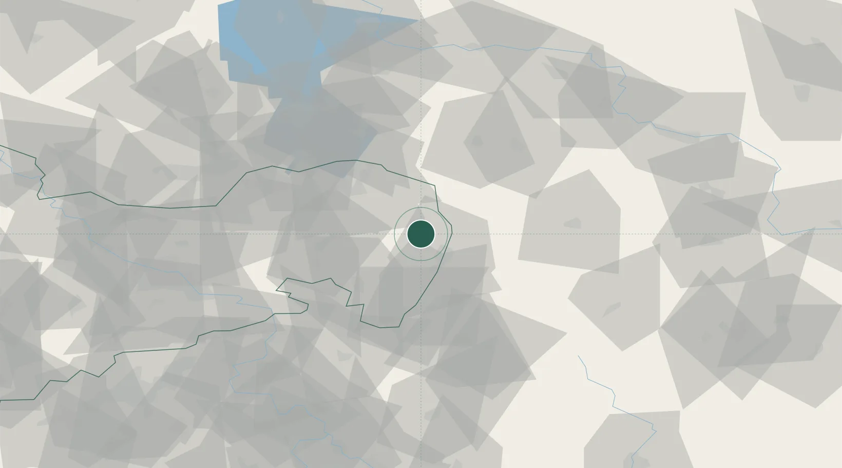
Hub Profile
Place type
Local administrative seat
Region
Saxony
Population
2,728
Time zone
Europe/Berlin
Elevation
180 m
Location
Nearby Logistics Neighbours
Cities
- 1Niesky7 km
- 2Horka/Oberlausitz8 km
- 3Schöpstal10 km
- 4Görlitz11 km
- 5Rothenburg/Oberlausitz13 km
Ports
- 1Szczecin244 km
- 2Police260 km
- 3Swinoujscie301 km
- 4Wolgast322 km
- 5Kolobrzeg335 km
Airports
- 1Rothenburg/Görlitz Airfield15 km
- 2Dresden Airport79 km
- 3Kostomlaty Airstrip114 km
- 4Vodochody Airport118 km
- 5Zielona Góra-Babimost Airport119 km
Trade Zones
DatabookThe Record of Consolidated Knowledge
Germany beyond logistics?