Transport Functions
Multimodal
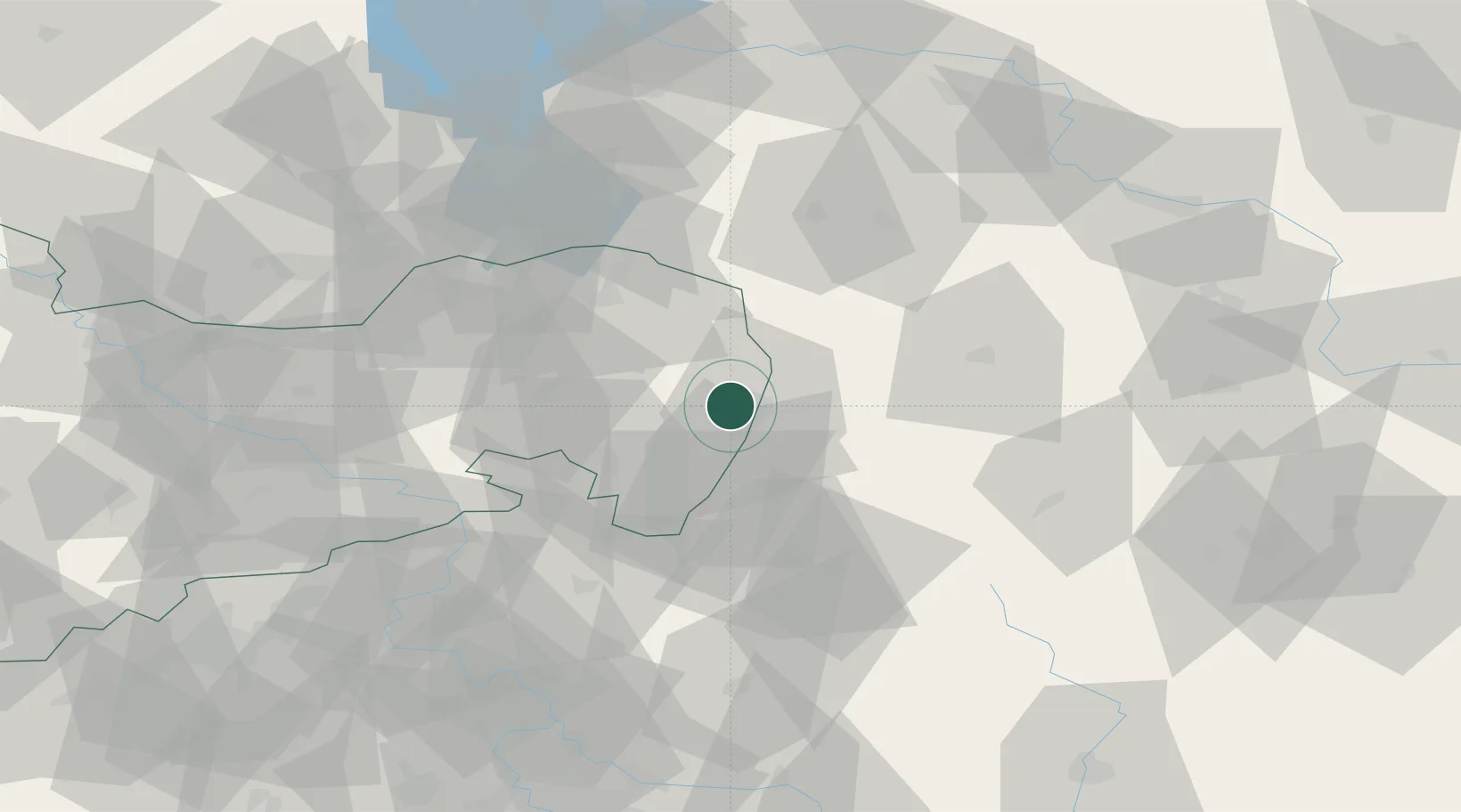
Hub Profile
Region
SN
Location
Nearby Logistics Neighbours
Cities
- 1Görlitz6 km
- 2Reichenbach/Oberlausitz8 km
- 3Kodersdorf10 km
- 4Niesky16 km
- 5Horka/Oberlausitz17 km
Ports
- 1Szczecin253 km
- 2Police270 km
- 3Swinoujscie311 km
- 4Wolgast331 km
- 5Kolobrzeg344 km
Airports
- 1Rothenburg/Görlitz Airfield24 km
- 2Dresden Airport80 km
- 3Kostomlaty Airstrip105 km
- 4Vodochody Airport110 km
- 5Prague–Kbely Air Base117 km
Trade Zones
DatabookThe Record of Consolidated Knowledge
Germany beyond logistics?