UN/LOCODE hub · Germany
DEOIN

Blossin

52.2500°, 13.7833°
2
Transport functions

Transport Functions

Port
Road
UN/LOCODE

Hub Profile

Place type
Populated place
GeoNames
Region
Brandenburg
GeoNames
Time zone
Europe/Berlin
GeoNames
Elevation
36 m
GeoNames

Location

Location of DEOIN
Natural Earth 10m (public domain) · Brandenburg · DEOIN · 52.25, 13.78GoogleOSMYandex

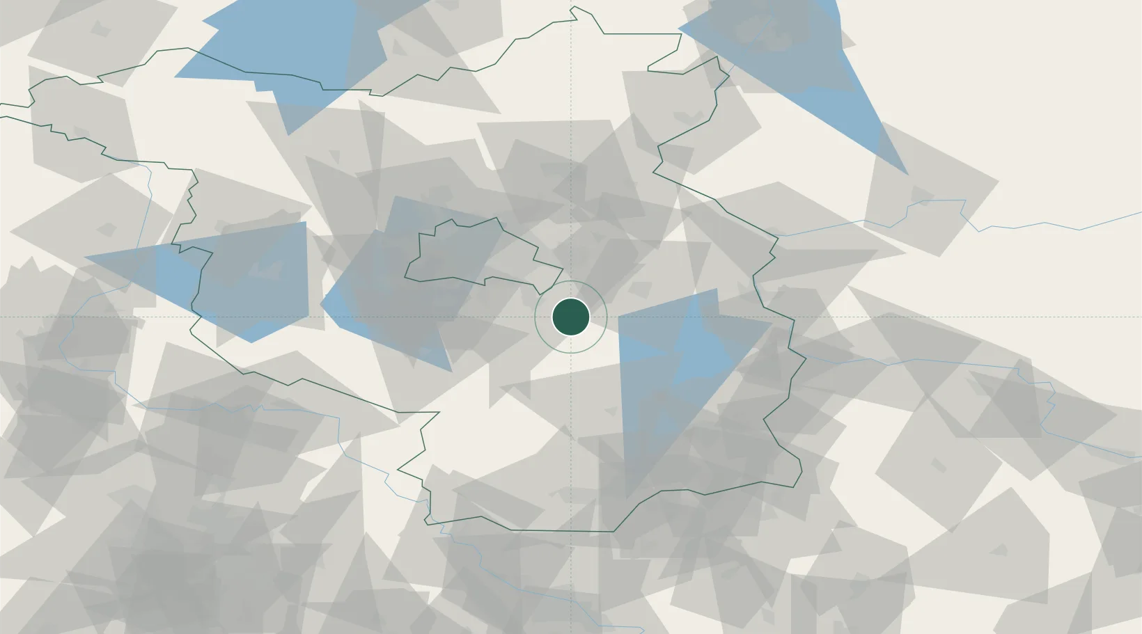
Nearby Logistics Neighbours

Cities
  1. 1Wolzig4 km
  2. 2Bindow4 km
  3. 3Zernsdorf8 km
  4. 4Zeesen10 km
  5. 5Königs Wusterhausen11 km
Nearest neighbours — logibook spatial index (haversine) over the source coordinates
Ports
  1. 1Szczecin140 km
  2. 2Police156 km
  3. 3Swinoujscie188 km
  4. 4Wolgast200 km
  5. 5Rostock233 km
Nearest neighbours — logibook spatial index (haversine) over the source coordinates
Airports
  1. 1Berlin Brandenburg Airport23 km
  2. 2Holzdorf Air Base68 km
  3. 3Zerbst Airfield115 km
  4. 4Dresden Airport124 km
  5. 5Rothenburg/Görlitz Airfield127 km
Nearest neighbours — logibook spatial index (haversine) over the source coordinates
Trade Zones
  1. 1Kostrzyń-Słubice SEZ70 km
  2. 2Szczecin Duty Free Zone141 km
  3. 3Legnica SEZ (Legnicka SSE)183 km
  4. 4Swinoujscie Duty Free Zone186 km
  5. 5Most - Joseph Industrial Zone197 km
Nearest neighbours — logibook spatial index (haversine) over the source coordinates
DatabookThe Record of Consolidated Knowledge
Germany beyond logistics?
Browse databook

All Sources

LocationsUN/LOCODE
UN/LOCODE — free
Portsthe NGA World Port Index
Public domain (US gov)
AirportsOurAirports
Public domain
Trade Zonesthe World Bank SEZ database
CC BY 4.0
Trade ZonesOpen Zone Map
CC BY
← Germany locations