Transport Functions
Port
Road
Hub Profile
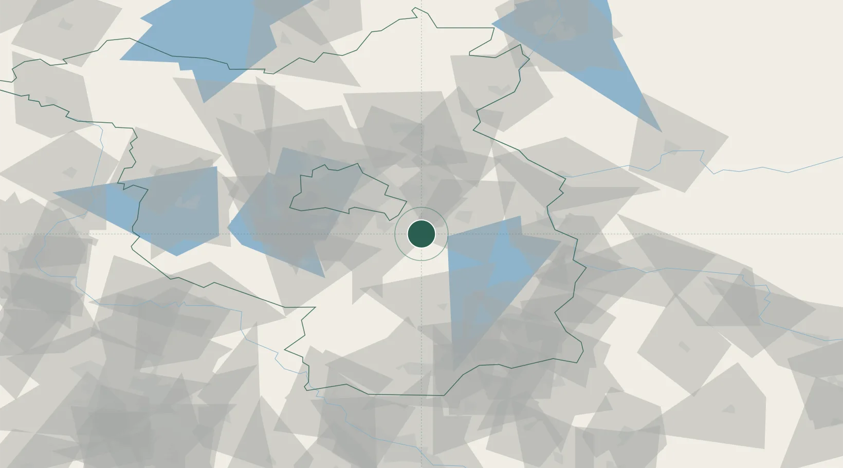
Place type
Populated place
Region
Brandenburg
Time zone
Europe/Berlin
Elevation
35 m
Location
Nearby Logistics Neighbours
Cities
- 1Blossin4 km
- 2Bindow6 km
- 3Zernsdorf10 km
- 4Hubertushöhe10 km
- 5Zeesen14 km
Ports
- 1Szczecin137 km
- 2Police153 km
- 3Swinoujscie186 km
- 4Wolgast198 km
- 5Stralsund233 km
Airports
- 1Berlin Brandenburg Airport25 km
- 2Holzdorf Air Base72 km
- 3Zerbst Airfield119 km
- 4Dresden Airport126 km
- 5Rothenburg/Görlitz Airfield126 km
Trade Zones
- 1Kostrzyń-Słubice SEZ66 km
- 2Szczecin Duty Free Zone138 km
- 3Legnica SEZ (Legnicka SSE)181 km
- 4Swinoujscie Duty Free Zone184 km
- 5Most - Joseph Industrial Zone199 km
DatabookThe Record of Consolidated Knowledge
Germany beyond logistics?