Transport Functions
Multimodal
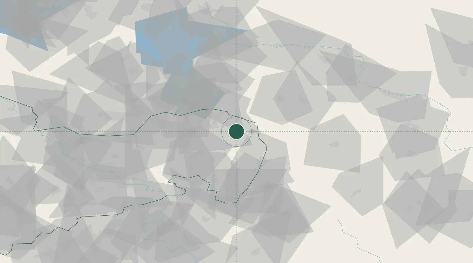
Hub Profile
Place type
Local administrative seat
Region
Saxony
Population
3,072
Time zone
Europe/Berlin
Elevation
142 m
Location
Nearby Logistics Neighbours
Cities
- 1Kreba-Neudorf9 km
- 2Niesky12 km
- 3Horka/Oberlausitz12 km
- 4Nochten14 km
- 5Rothenburg/Oberlausitz14 km
Ports
- 1Szczecin227 km
- 2Police243 km
- 3Swinoujscie284 km
- 4Wolgast304 km
- 5Kolobrzeg319 km
Airports
- 1Rothenburg/Görlitz Airfield12 km
- 2Dresden Airport76 km
- 3Zielona Góra-Babimost Airport109 km
- 4Holzdorf Air Base120 km
- 5Kostomlaty Airstrip131 km
Trade Zones
- 1Legnica SEZ (Legnicka SSE)81 km
- 2Kamienna Góra109 km
- 3Wałbrzych SEZ INVEST-PARK (Wałbrzyska SSE)123 km
- 4Most - Joseph Industrial Zone128 km
- 5Kostrzyń-Słubice SEZ135 km
DatabookThe Record of Consolidated Knowledge
Germany beyond logistics?