UN/LOCODE hub · Germany
DEHRO

Hubertushöhe

52.2333°, 13.9667°
2
Transport functions

Transport Functions

Port
Road
UN/LOCODE

Hub Profile

Region
BB
GeoNames

Location

Location of DEHRO
Natural Earth 10m (public domain) · BB · DEHRO · 52.23, 13.97GoogleOSMYandex

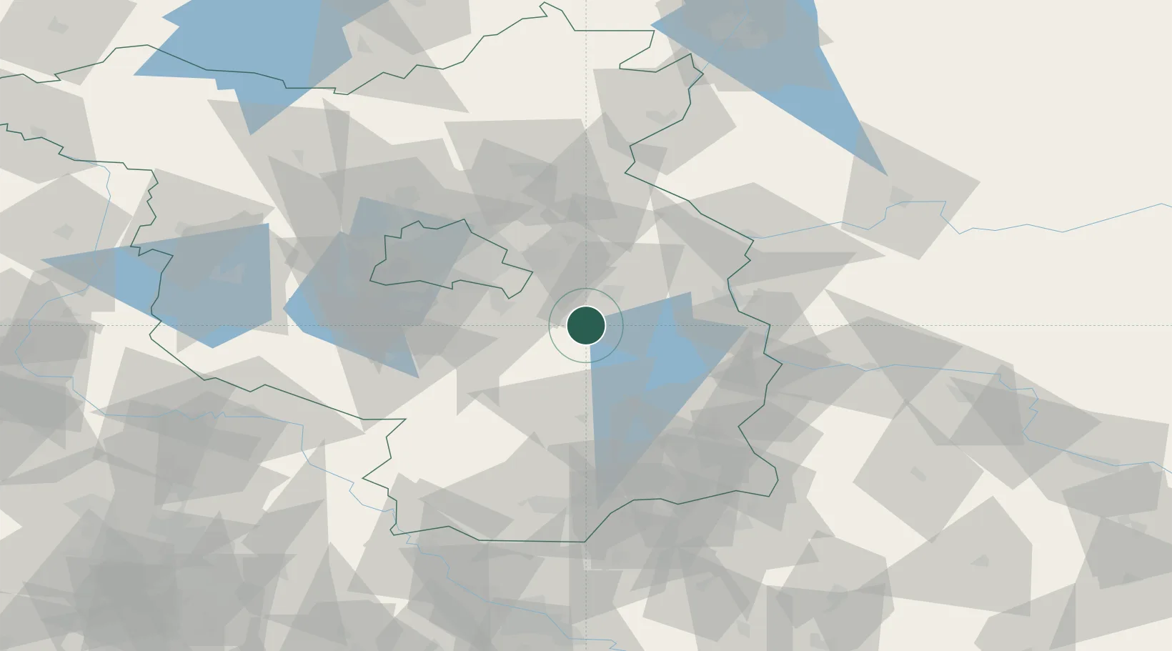
Nearby Logistics Neighbours

Cities
  1. 1Bad Saarow9 km
  2. 2Wolzig10 km
  3. 3Blossin13 km
  4. 4Braunsdorf15 km
  5. 5Bindow16 km
Nearest neighbours — logibook spatial index (haversine) over the source coordinates
Ports
  1. 1Szczecin137 km
  2. 2Police154 km
  3. 3Swinoujscie188 km
  4. 4Wolgast202 km
  5. 5Stralsund239 km
Nearest neighbours — logibook spatial index (haversine) over the source coordinates
Airports
  1. 1Berlin Brandenburg Airport35 km
  2. 2Holzdorf Air Base75 km
  3. 3Rothenburg/Görlitz Airfield118 km
  4. 4Dresden Airport123 km
  5. 5Zielona Góra-Babimost Airport125 km
Nearest neighbours — logibook spatial index (haversine) over the source coordinates
Trade Zones
  1. 1Kostrzyń-Słubice SEZ61 km
  2. 2Szczecin Duty Free Zone138 km
  3. 3Legnica SEZ (Legnicka SSE)172 km
  4. 4Swinoujscie Duty Free Zone186 km
  5. 5Most - Joseph Industrial Zone196 km
Nearest neighbours — logibook spatial index (haversine) over the source coordinates
DatabookThe Record of Consolidated Knowledge
Germany beyond logistics?
Browse databook

All Sources

LocationsUN/LOCODE
UN/LOCODE — free
Portsthe NGA World Port Index
Public domain (US gov)
AirportsOurAirports
Public domain
Trade Zonesthe World Bank SEZ database
CC BY 4.0
Trade ZonesOpen Zone Map
CC BY
← Germany locations