Transport Functions
Port
Road
Hub Profile
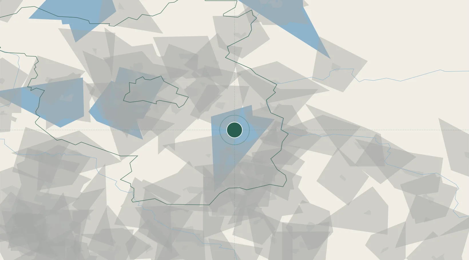
Place type
Populated place
Region
Brandenburg
Time zone
Europe/Berlin
Elevation
46 m
Location
Nearby Logistics Neighbours
Cities
- 1Beeskow6 km
- 2Müllrose20 km
- 3Bad Saarow21 km
- 4Hubertushöhe21 km
- 5Jacobsdorf25 km
Ports
- 1Szczecin146 km
- 2Police163 km
- 3Swinoujscie200 km
- 4Wolgast217 km
- 5Kolobrzeg250 km
Airports
- 1Berlin Brandenburg Airport56 km
- 2Holzdorf Air Base82 km
- 3Rothenburg/Görlitz Airfield98 km
- 4Zielona Góra-Babimost Airport108 km
- 5Dresden Airport114 km
Trade Zones
- 1Kostrzyń-Słubice SEZ61 km
- 2Szczecin Duty Free Zone147 km
- 3Legnica SEZ (Legnicka SSE)151 km
- 4Most - Joseph Industrial Zone186 km
- 5Kamienna Góra194 km
DatabookThe Record of Consolidated Knowledge
Germany beyond logistics?