Transport Functions
Port
Rail
Road
Hub Profile
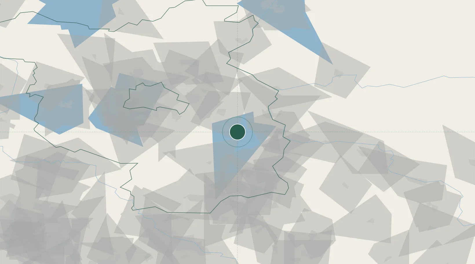
Place type
District seat
Region
Brandenburg
Population
8,468
Time zone
Europe/Berlin
Elevation
46 m
Location
Nearby Logistics Neighbours
Cities
- 1Leissnitz6 km
- 2Müllrose16 km
- 3Bad Saarow17 km
- 4Hubertushöhe20 km
- 5Jacobsdorf20 km
Ports
- 1Szczecin141 km
- 2Police157 km
- 3Swinoujscie195 km
- 4Wolgast212 km
- 5Kolobrzeg244 km
Airports
- 1Berlin Brandenburg Airport54 km
- 2Holzdorf Air Base85 km
- 3Rothenburg/Görlitz Airfield102 km
- 4Zielona Góra-Babimost Airport107 km
- 5Dresden Airport119 km
Trade Zones
- 1Kostrzyń-Słubice SEZ55 km
- 2Szczecin Duty Free Zone141 km
- 3Legnica SEZ (Legnicka SSE)153 km
- 4Most - Joseph Industrial Zone191 km
- 5Swinoujscie Duty Free Zone192 km
DatabookThe Record of Consolidated Knowledge
Germany beyond logistics?