Transport Functions
Rail
Road
Hub Profile
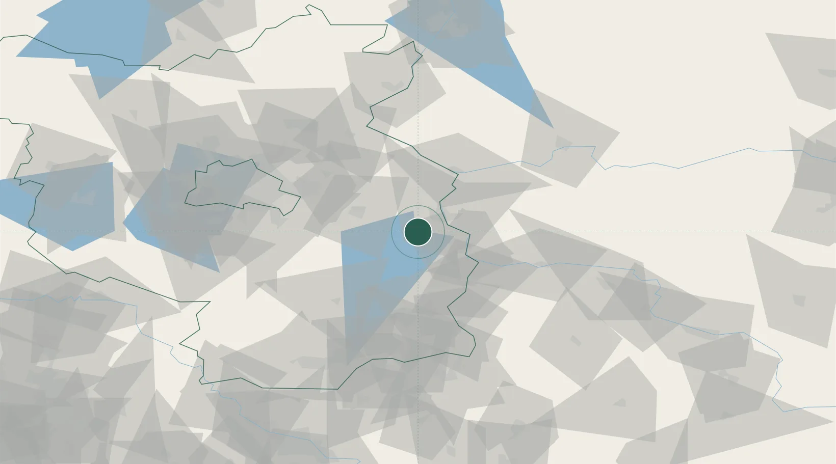
Region
BB
Location
Nearby Logistics Neighbours
Cities
- 1Jacobsdorf11 km
- 2Frankfurt/Oder13 km
- 3Beeskow16 km
- 4Slubice, Lubuskie16 km
- 5Urad19 km
Ports
- 1Szczecin130 km
- 2Police147 km
- 3Swinoujscie186 km
- 4Wolgast205 km
- 5Kolobrzeg231 km
Airports
- 1Berlin Brandenburg Airport63 km
- 2Zielona Góra-Babimost Airport95 km
- 3Holzdorf Air Base101 km
- 4Rothenburg/Görlitz Airfield105 km
- 5Dresden Airport132 km
Trade Zones
- 1Kostrzyń-Słubice SEZ41 km
- 2Szczecin Duty Free Zone131 km
- 3Legnica SEZ (Legnicka SSE)150 km
- 4Swinoujscie Duty Free Zone183 km
- 5Kamienna Góra197 km
DatabookThe Record of Consolidated Knowledge
Germany beyond logistics?