Transport Functions
Multimodal
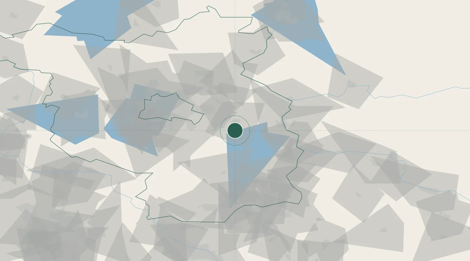
Hub Profile
Place type
Local administrative seat
Region
Brandenburg
Population
4,594
Time zone
Europe/Berlin
Elevation
52 m
Location
Nearby Logistics Neighbours
Cities
- 1Hubertushöhe9 km
- 2Fürstenwalde9 km
- 3Braunsdorf12 km
- 4Wolzig16 km
- 5Beeskow17 km
Ports
- 1Szczecin130 km
- 2Police147 km
- 3Swinoujscie182 km
- 4Wolgast197 km
- 5Stralsund235 km
Airports
- 1Berlin Brandenburg Airport39 km
- 2Holzdorf Air Base84 km
- 3Rothenburg/Görlitz Airfield119 km
- 4Zielona Góra-Babimost Airport119 km
- 5Dresden Airport129 km
Trade Zones
- 1Kostrzyń-Słubice SEZ52 km
- 2Szczecin Duty Free Zone131 km
- 3Legnica SEZ (Legnicka SSE)170 km
- 4Swinoujscie Duty Free Zone180 km
- 5Most - Joseph Industrial Zone202 km
DatabookThe Record of Consolidated Knowledge
Germany beyond logistics?